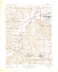
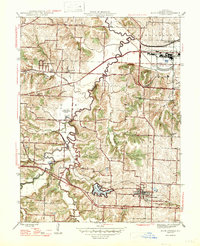
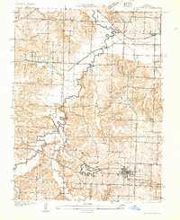
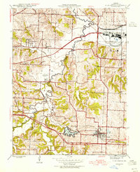
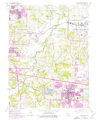
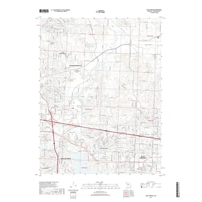
1947 Map of Blue Springs
USGS Topo · Published 1947About this map
Lake City Ordnance Plant stands as a massive industrial presence in the northeast corner of this post-war landscape, dominating the area near Lake City. The map documents a period of transition in eastern Jackson County, where the rural tradition of one-room schools like Etna Sch, Eureka Sch, and Fairview Sch exists alongside new suburban precursors. The Little Blue River and its tributary Spring Branch meander through the center of the sheet, providing drainage for a terrain defined by the Sni-A-Bar hills.
Find a feature on this map
43 named features on this map. Tap any name to fly to it.
Don’t see what you’re looking for? This feature index may not catch every label — zoom into the map to look around manually.
Map Details
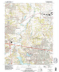
Editions of this 1947 Blue Springs Map
2 editions found
Historical Maps of Independence Through Time
9 maps found
1933 Blue Springs
Jackson County, MO
1945 Blue Springs
Jackson County, MO
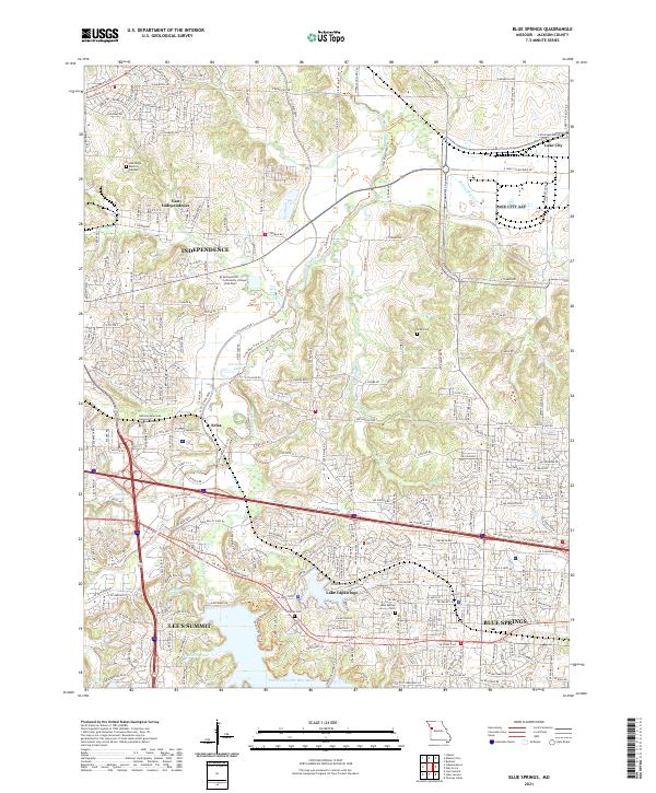
1947 Blue Springs
Jackson County, MO
1965 Blue Springs
Jackson County, MO
1990 Blue Springs
Jackson County, MO
2012 Blue Springs
Jackson County, MO
2015 Blue Springs
Jackson County, MO
2017 Blue Springs
Jackson County, MO
2021 Blue Springs
Jackson County, MO