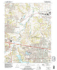
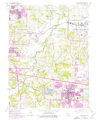
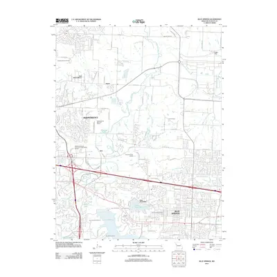
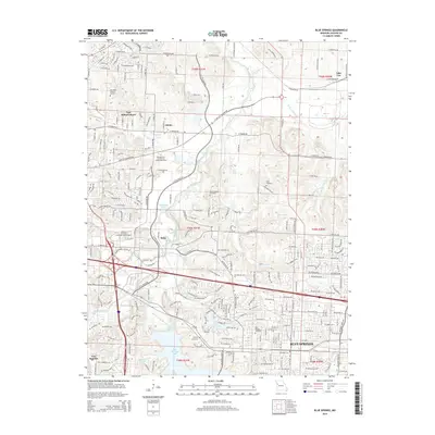
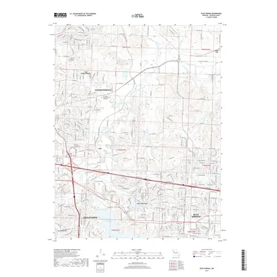
1990 Map of Blue Springs
USGS Topo · Published 1995About this map
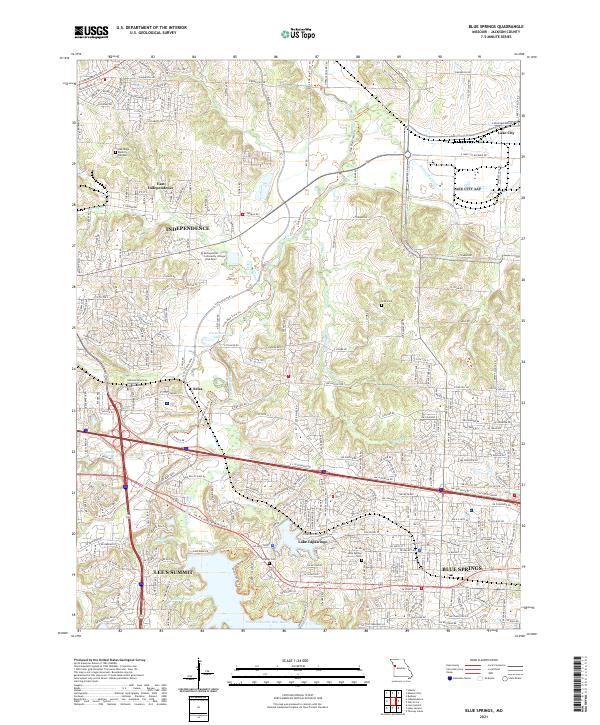
The Lake City Army Ammunition Plant dominates the northeastern landscape, illustrating the significant federal footprint in eastern Jackson County during the late 20th century. This region between Independence and Blue Springs reveals a complex mix of suburban expansion and dedicated conservation land, notably the Burr Oak Woods State Conservation Area. Waterways like the Little Blue River and its accompanying Little Blue Trace County Park carve a natural corridor through the developing terrain. Local heritage is anchored by several burial grounds, including Oak Ridge Memory Gardens, Lobb Cem, and the Blue Springs Cemetery. The map also captures specialized land uses ranging from the Independence Memorial Airport to the industrial Quarry and Pit sites, alongside established recreational spots like Lake Tapawingo and Fleming County Park.
Find a feature on this map
47 named features on this map. Tap any name to fly to it.
Don’t see what you’re looking for? This feature index may not catch every label — zoom into the map to look around manually.
Map Details
Editions of this 1990 Blue Springs Map
This is the sole edition of this map. No revisions or reprints were ever made.
Historical Maps of Independence Through Time
9 maps found
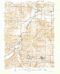
1933 Blue Springs
Jackson County, MO
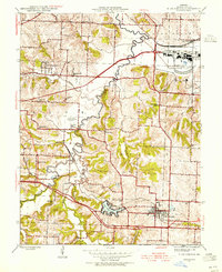
1945 Blue Springs
Jackson County, MO
1947 Blue Springs
Jackson County, MO
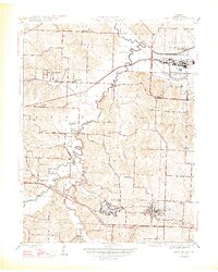
1965 Blue Springs
Jackson County, MO
1990 Blue Springs
Jackson County, MO
2012 Blue Springs
Jackson County, MO
2015 Blue Springs
Jackson County, MO
2017 Blue Springs
Jackson County, MO
2021 Blue Springs
Jackson County, MO