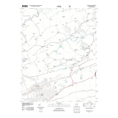
2011 Map of Bluefield
USGS Topo · Published 2011About this map
Bluefield and South Bluefield anchor the southern portion of this region, where the street grid of Cumberland Heights meets the rising terrain of Stony Gap. The landscape north of the city is defined by a dense network of family-named cemeteries and small settlements like Montcalm, Sandlick, and Littlesburg. This area serves as a primary drainage basin for the Brush Creek system, which is heavily managed by a series of numbered flood control structures, including Brush Creek Structure Number 15 Dam and the Brush Creek Structure Number 14 Dam near Glenwood.
Find a feature on this map
132 named features on this map. Tap any name to fly to it.
Don’t see what you’re looking for? This feature index may not catch every label — zoom into the map to look around manually.
Map Details
Editions of this 2011 Bluefield Map
This is the sole edition of this map. No revisions or reprints were ever made.
Other maps of this area

1887 · Pocahontas
USGS Topo · 1:125,000

1891 · Pocahontas
USGS Topo · 1:125,000

1894 · Pocahontas
USGS Topo · 1:125,000

1895 · Pocahontas
USGS Topo · 1:125,000

1909 · Pocahontas Special
USGS Topo · 1:48,000

1911 · Pocahontas Special
USGS Topo · 1:62,500

1913 · Bluefield
USGS Topo · 1:48,000

1916 · Bluefield
USGS Topo · 1:62,500

1924 · Bramwell
USGS Topo · 1:62,500

1924 · Bluefield
USGS Topo · 1:62,500