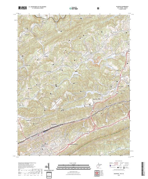
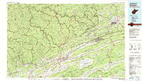
2023 Map of Bluefield
USGS Topo · Published 2023About this map
Bluefield and its surrounding ridgelines appear here at the border of West Virginia and Virginia, where the Norfolk Southern line navigates the complex terrain of the Appalachian Highlands. The city's growth is evident through the footprint of Bluefield State College and the sprawling residential areas of South Bluefield and Cumberland Heights. The landscape is dominated by parallel ridges including East River Mtn and Hurricane Ridge, which funnel transportation and settlement into narrow valleys.
Find a feature on this map
113 named features on this map. Tap any name to fly to it.
Don’t see what you’re looking for? This feature index may not catch every label — zoom into the map to look around manually.
Map Details
Editions of this 2023 Bluefield Map
This is the sole edition of this map. No revisions or reprints were ever made.
Historical Maps of Bluefield Through Time
10 maps found
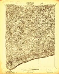
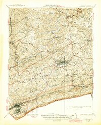
1913 Bluefield
Tazewell County, VA
1916 Bluefield
Tazewell County, VA
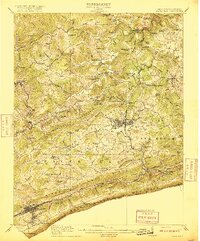
1924 Bluefield
Tazewell County, VA
1926 Bluefield
Tazewell County, VA

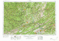
1955 Bluefield
Tazewell County, VA
1957 Bluefield
Tazewell County, VA

1961 Bluefield
Tazewell County, VA
1962 Bluefield
Tazewell County, VA
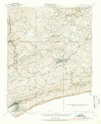
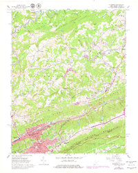
1981 Bluefield
Tazewell County, VA
2023 Bluefield
Tazewell County, VA