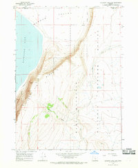
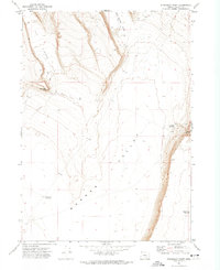
1966 Map of Bluejoint Lake East
USGS Topo · Published 1968About this map
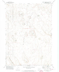
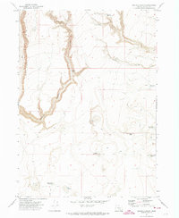
Bluejoint Lake and the dramatic escarpment of Poker Jim Ridge dominate this mid-century survey of the high desert along the Harney and Lake County line. The landscape is defined by the sharp vertical transition from the flat floor of the Warner Valley to the uplifted plateau of Hart Mountain, a region preserved within the Hart Mountain National Antelope Refuge. Sparse water sources like Rock Creek and Snyder Creek cut through the terrain, with Snyder Canyon providing a primary drainage route from the heights. This map records the early boundaries and physical state of the wildlife refuge before significant modern development, showing the remote fencelines and unimproved tracks that served the region's conservation and ranching interests in the 1960s.
Find a feature on this map
10 named features on this map. Tap any name to fly to it.
Don’t see what you’re looking for? This feature index may not catch every label — zoom into the map to look around manually.
Map Details
Editions of this 1966 Bluejoint Lake East Map
This is the sole edition of this map. No revisions or reprints were ever made.
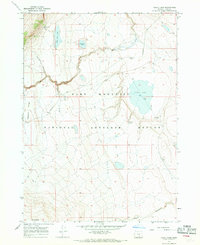
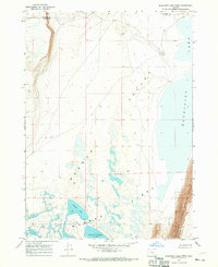
Other maps of this area

1955 · Adel
USGS Topo · 1:250,000

1957 · Adel
USGS Topo · 1:250,000

1958 · Adel
USGS Topo · 1:250,000

1962 · Adel
USGS Topo · 1:250,000
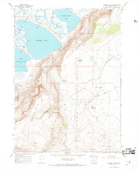
1967 · Campbell Lake
USGS Topo · 1:24,000
1967 · Flook Lake
USGS Topo · 1:24,000
1967 · Bluejoint Lake West
USGS Topo · 1:24,000
1971 · Steamboat Point
USGS Topo · 1:24,000
1971 · Murphy Waterholes
USGS Topo · 1:24,000
1971 · Orejana Canyon
USGS Topo · 1:24,000