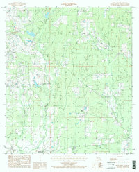
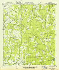
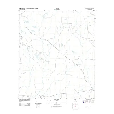
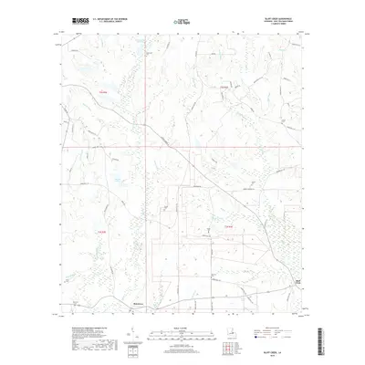
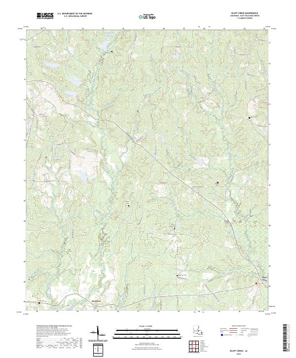
1984 Map of Bluff Creek
USGS Topo · Published 1985About this map
Blairtown and the eponymous Bluff Creek community anchor this East Feliciana Parish landscape during the early 1980s. The area is characterized by a dense network of waterways, including Sandy Creek, McQuinney Bayou, and Little Bayou Richards, which carve through the terrain. A notable institutional presence is the Louisiana State University Experiment Station, reflecting the region's agricultural research importance.
Find a feature on this map
27 named features on this map. Tap any name to fly to it.
Don’t see what you’re looking for? This feature index may not catch every label — zoom into the map to look around manually.
Map Details
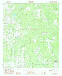
Editions of this 1984 Bluff Creek Map
2 editions found
Historical Maps of Blairstown Through Time
23 maps found

1941 Lost Creek
East Feliciana Parish, LA
1941 Woodland
East Feliciana Parish, LA
1945 Lost Creek
East Feliciana Parish, LA
1949 Bluff Creek
East Feliciana Parish, LA
1958 Felixville
East Feliciana Parish, LA
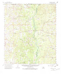
1984 Bluff Creek
East Feliciana Parish, LA
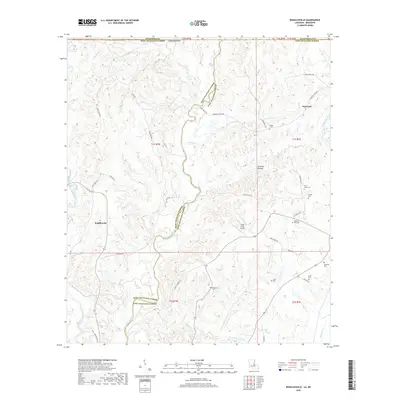
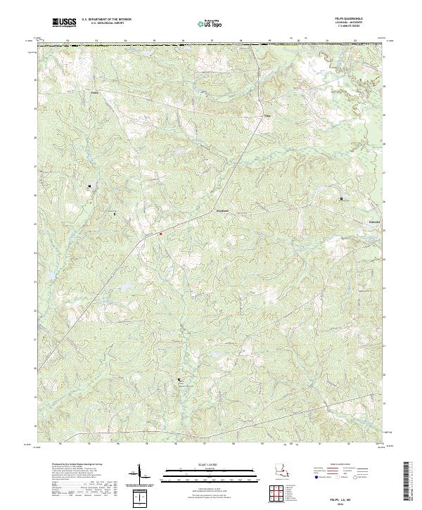
1984 Felps
East Feliciana Parish, LA
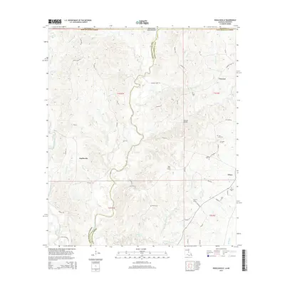
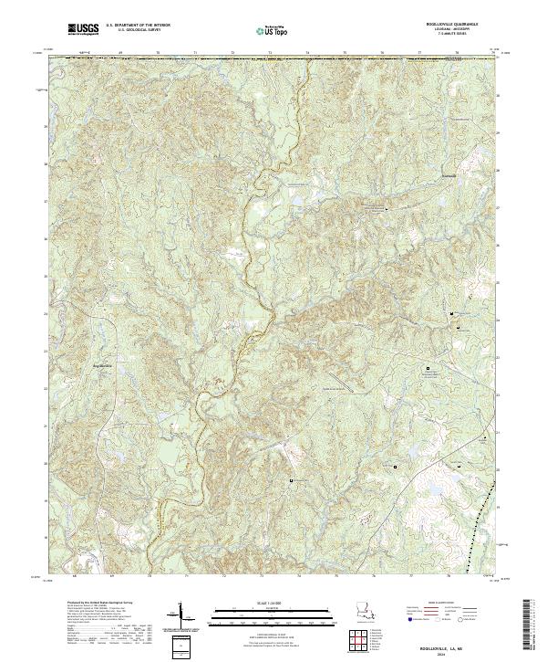
1984 Rogillioville
East Feliciana Parish, LA
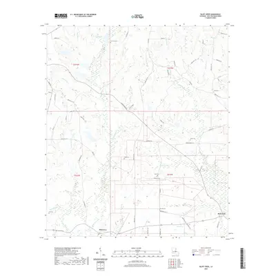
2012 Bluff Creek
East Feliciana Parish, LA
2012 Felps
East Feliciana Parish, LA
2012 Rogillioville
East Feliciana Parish, LA
2015 Bluff Creek
East Feliciana Parish, LA

2015 Felps
East Feliciana Parish, LA
2015 Rogillioville
East Feliciana Parish, LA
2018 Bluff Creek
East Feliciana Parish, LA

2018 Felps
East Feliciana Parish, LA
2018 Rogillioville
East Feliciana Parish, LA
2020 Bluff Creek
East Feliciana Parish, LA

2020 Felps
East Feliciana Parish, LA
2020 Rogillioville
East Feliciana Parish, LA
2024 Bluff Creek
East Feliciana Parish, LA
2024 Felps
East Feliciana Parish, LA
2024 Rogillioville
East Feliciana Parish, LA