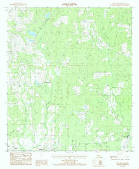
1984 Map of Bluff Creek
USGS Topo · Published 1985About this map
The Louisiana State University Experiment Station serves as a central landmark in this 1984 survey of East Feliciana Parish, where the local economy and landscape are defined by a dense network of bayous and creeks. The terrain is notably etched by the winding paths of Sandy Creek, McQuinney Bayou, and Horton Bayou, creating a complex drainage system that dictated the placement of early settlements. Small rural hubs like Blairstown and the namesake Bluff Creek community appear alongside numerous family and church burial grounds, including the Gilead Cem and Nesom Cem. These cemeteries, often positioned on higher ground near watercourses like Little Sandy Creek, provide significant genealogical data points for researchers. The presence of the Steel Tower Powerline cutting across the landscape contrasts with the traditional settlement patterns of old farms and ponds like Willis Pond.
Find a feature on this map
28 named features on this map. Tap any name to fly to it.
Don’t see what you’re looking for? This feature index may not catch every label — zoom into the map to look around manually.
Map Details
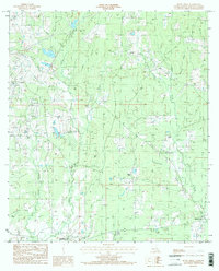
Editions of this 1984 Bluff Creek Map
2 editions found
Other maps of this area

1906 · Bayou Sara
USGS Topo · 1:125,000

1939 · Zachary
USGS Topo · 1:62,500

1941 · Woodland
USGS Topo · 1:31,680

1941 · Norwood
USGS Topo · 1:31,680

1941 · Gilead
USGS Topo · 1:31,680

1941 · Chipola
USGS Topo · 1:31,680

1942 · Pine Grove
USGS Topo · 1:31,680

1942 · Pride
USGS Topo · 1:31,680

1942 · Gilead
USGS Topo · 1:31,680

1945 · Norwood
USGS Topo · 1:31,680