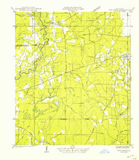
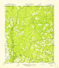
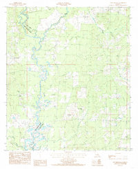
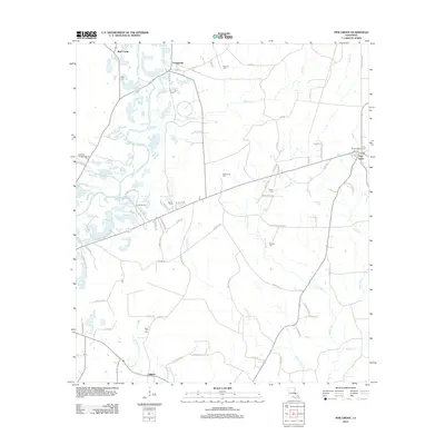
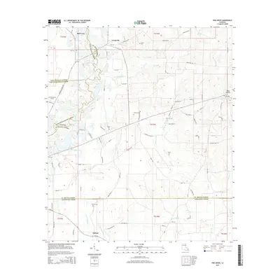
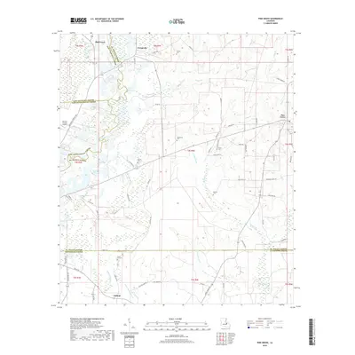
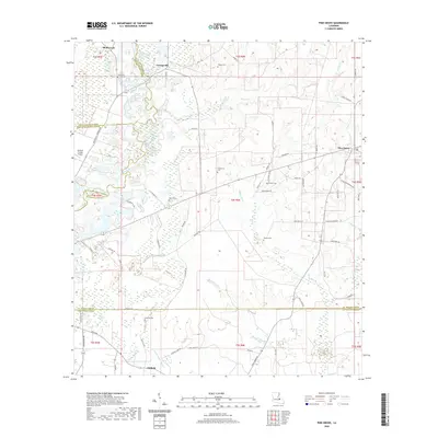
1942 Map of Pine Grove
USGS Topo · Published 1942About this map
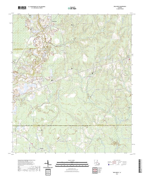
The Amite River and its dense network of tributaries, such as Lilleys Creek and Hog Branch, dominate this early 1940s landscape at the intersection of St. Helena, East Feliciana, East Baton Rouge, and Livingston parishes. The map reveals a rural economy in transition, where the New Orleans Natalbany and Natchez Railroad is already marked as abandoned, leaving behind an Old Grade near Pigeon Creek.
Find a feature on this map
40 named features on this map. Tap any name to fly to it.
Don’t see what you’re looking for? This feature index may not catch every label — zoom into the map to look around manually.
Map Details
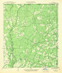
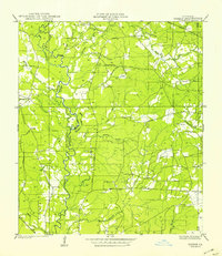
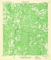
Editions of this 1942 Pine Grove Map
This is the sole edition of this map. No revisions or reprints were ever made.
Historical Maps of Oldfield Through Time
30 maps found
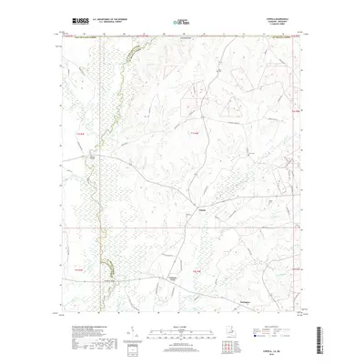
1941 Chipola
St. Helena Parish, LA
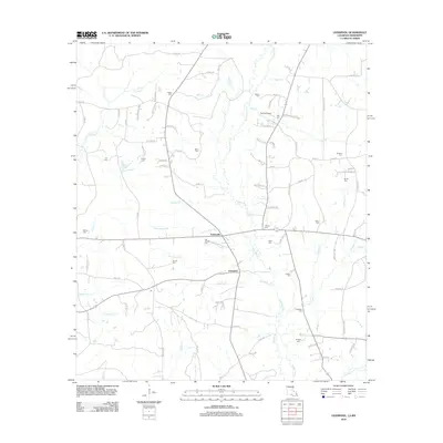
1941 Gilead
St. Helena Parish, LA
1942 Gilead
St. Helena Parish, LA

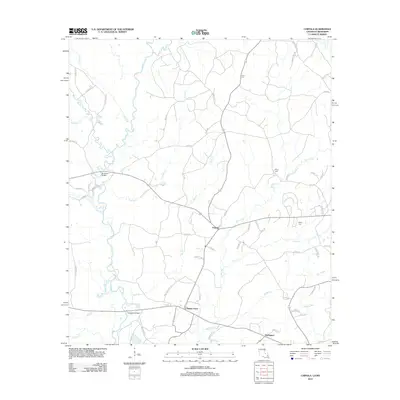
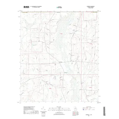
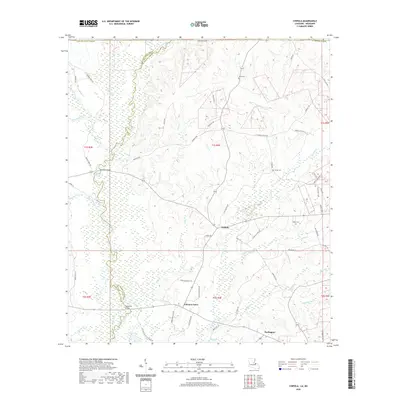
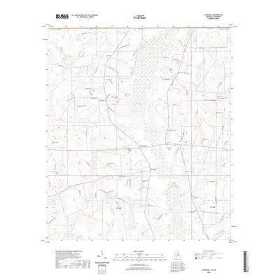
1942 Liverpool
St. Helena Parish, LA
1942 Pine Grove
St. Helena Parish, LA
1945 Chipola
St. Helena Parish, LA
1980 Pine Grove
St. Helena Parish, LA
1981 Liverpool
St. Helena Parish, LA
1984 Chipola
St. Helena Parish, LA
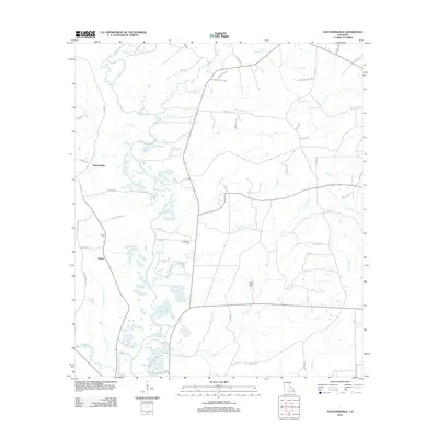
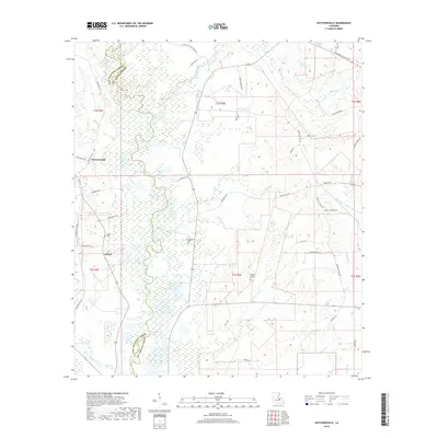
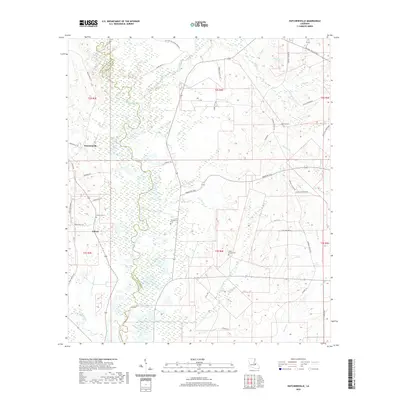
1984 Hatchersville
St. Helena Parish, LA
2012 Chipola
St. Helena Parish, LA
2012 Hatchersville
St. Helena Parish, LA
2012 Liverpool
St. Helena Parish, LA
2012 Pine Grove
St. Helena Parish, LA
2015 Chipola
St. Helena Parish, LA
2015 Hatchersville
St. Helena Parish, LA
2015 Liverpool
St. Helena Parish, LA
2015 Pine Grove
St. Helena Parish, LA
2018 Chipola
St. Helena Parish, LA
2018 Hatchersville
St. Helena Parish, LA
2018 Liverpool
St. Helena Parish, LA
2018 Pine Grove
St. Helena Parish, LA
2020 Chipola
St. Helena Parish, LA
2020 Hatchersville
St. Helena Parish, LA
2020 Liverpool
St. Helena Parish, LA
2020 Pine Grove
St. Helena Parish, LA
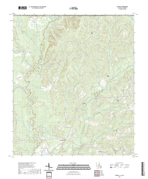
2024 Chipola
St. Helena Parish, LA
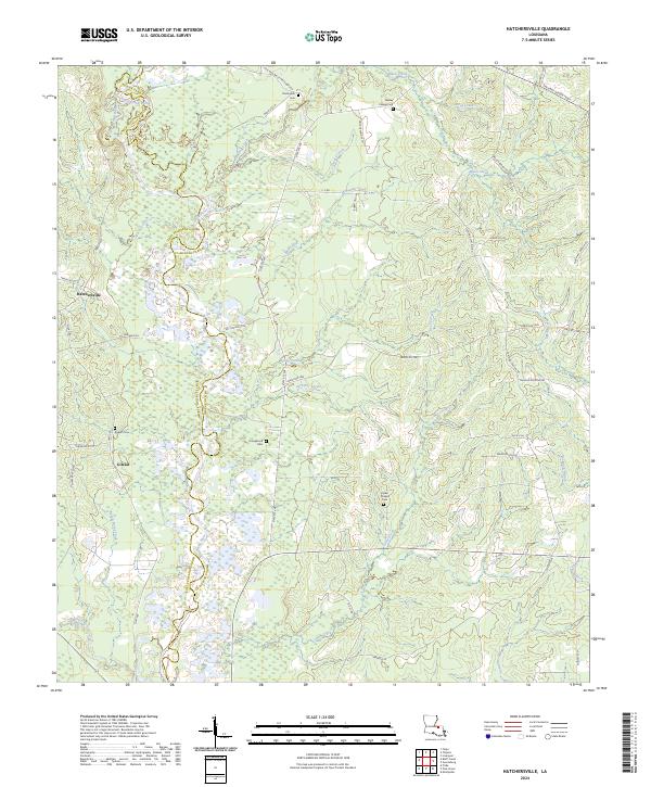
2024 Hatchersville
St. Helena Parish, LA
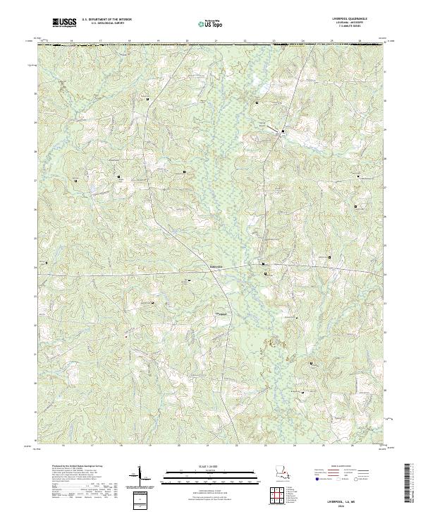
2024 Liverpool
St. Helena Parish, LA
2024 Pine Grove
St. Helena Parish, LA