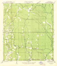
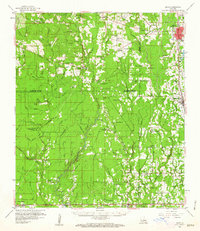
1942 Map of Satsuma
USGS Topo · Published 1942About this map
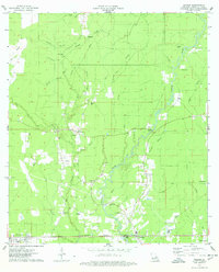
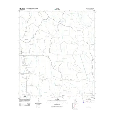
Livingston and the surrounding piney woods of southeastern Louisiana are captured during a period of transition, compiled from aerial photography just before the United States entered World War II. The landscape is defined by the winding course of Colyell Creek and Hornsby Creek, with the southern corridor dominated by the industrial and transport artery of the Illinois Central railroad and U S Highway No 190. Small rural communities and church-centered settlements like Friendship and Satsuma are connected by an intricate network of state-maintained gravel and dirt roads.
Find a feature on this map
30 named features on this map. Tap any name to fly to it.
Don’t see what you’re looking for? This feature index may not catch every label — zoom into the map to look around manually.
Map Details
Editions of this 1942 Satsuma Map
This is the sole edition of this map. No revisions or reprints were ever made.
Historical Maps of Walker Through Time
30 maps found
1942 Satsuma
Livingston Parish, LA
1950 Doyle
Livingston Parish, LA
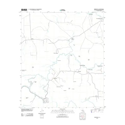
1953 Satsuma
Livingston Parish, LA
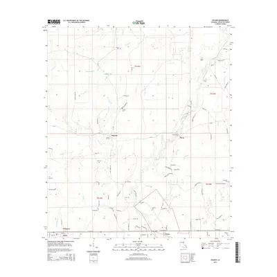
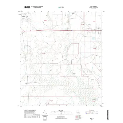
1958 Pine Grove
Livingston Parish, LA
1959 Amite
Livingston Parish, LA
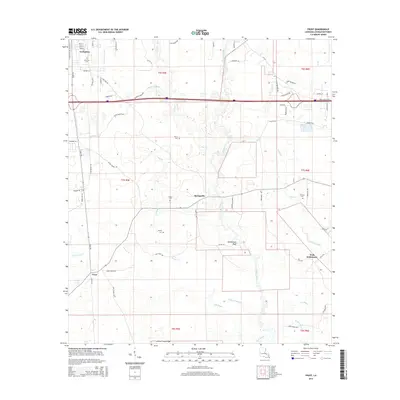
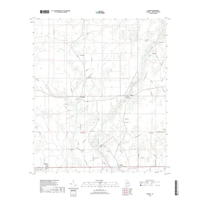
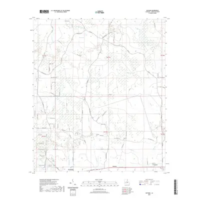
1963 Frost
Livingston Parish, LA
1963 Whitehall
Livingston Parish, LA
1974 Amite
Livingston Parish, LA
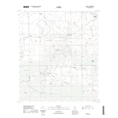
1974 Holden
Livingston Parish, LA
1980 Satsuma
Livingston Parish, LA
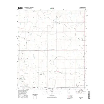
2012 Frost
Livingston Parish, LA
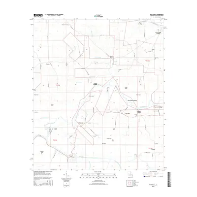
2012 Holden
Livingston Parish, LA
2012 Satsuma
Livingston Parish, LA
2012 Whitehall
Livingston Parish, LA
2015 Frost
Livingston Parish, LA
2015 Holden
Livingston Parish, LA
2015 Satsuma
Livingston Parish, LA
2015 Whitehall
Livingston Parish, LA
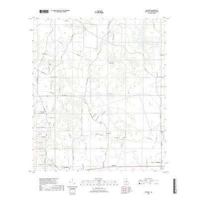
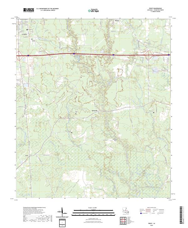
2018 Frost
Livingston Parish, LA
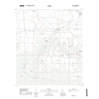
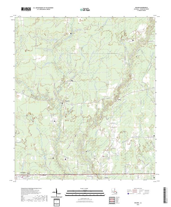
2018 Holden
Livingston Parish, LA
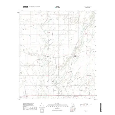
2018 Satsuma
Livingston Parish, LA
2018 Whitehall
Livingston Parish, LA
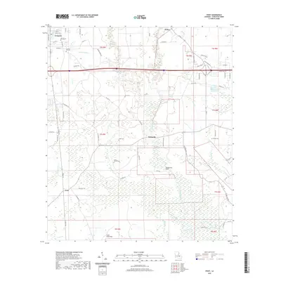
2020 Frost
Livingston Parish, LA
2020 Holden
Livingston Parish, LA
2020 Satsuma
Livingston Parish, LA
2020 Whitehall
Livingston Parish, LA
2024 Frost
Livingston Parish, LA
2024 Holden
Livingston Parish, LA
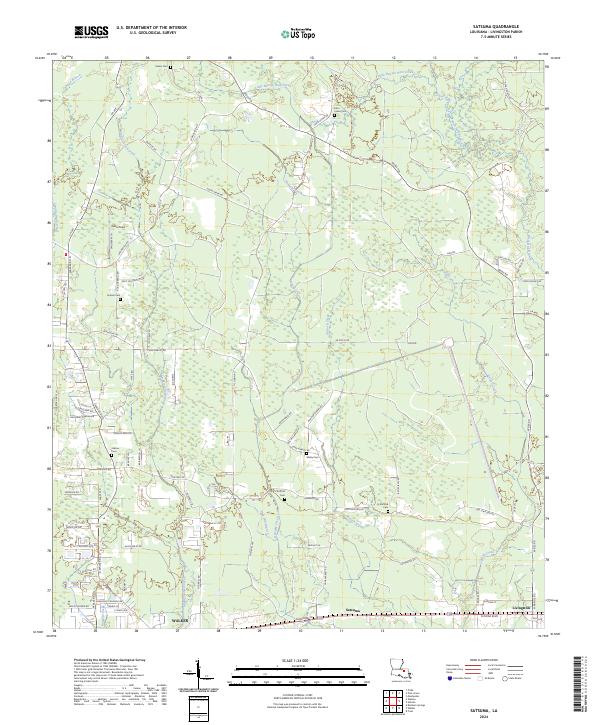
2024 Satsuma
Livingston Parish, LA
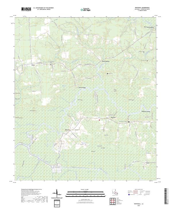
2024 Whitehall
Livingston Parish, LA