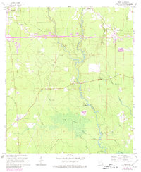
1963 Map of Frost
USGS Topo · Published 1981About this map
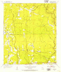
The Tickfaw River meanders through the heart of this Livingston Parish landscape, defining a region where dense wetlands and pine-timbered ridges meet. In the early 1960s, the settlement of Springville served as a local hub, marked by the Springville Lookout Tower and surrounding family cemeteries like Zeigler Cem and Smiley Cem. The transition from the higher ground of Indian Camp Ridge into the expansive Gum Swamp illustrates the varied terrain of the Louisiana piney woods before extensive modern development. Smaller communities such as Frost and Livingston anchor the western edge, while the river's path is tracked through named features like Saulsettoon Bluff and the numerous bayous—Big Bridge Bayou, Edwards Bayou, and Wall Bayou—that drain into the main channel. The presence of a Sandpit and Pit indicates the local extraction industries of the era.
Find a feature on this map
32 named features on this map. Tap any name to fly to it.
Don’t see what you’re looking for? This feature index may not catch every label — zoom into the map to look around manually.
Map Details
Editions of this 1963 Frost Map
3 editions found
Other maps of this area

1934 · Denham Springs
USGS Topo · 1:62,500

1934 · Springfield
USGS Topo · 1:62,500

1939 · Springfield
USGS Topo · 1:62,500

1939 · Denham Springs
USGS Topo · 1:62,500

1942 · Satsuma
USGS Topo · 1:31,680

1949 · Albany
USGS Topo · 1:31,680

1950 · Doyle
USGS Topo · 1:31,680

1953 · Walker
USGS Topo · 1:24,000
1953 · French Settlement
USGS Topo · 1:24,000
1953 · Satsuma
USGS Topo · 1:24,000