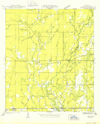
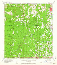
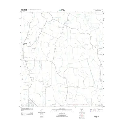
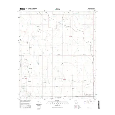
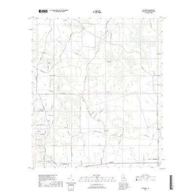
1950 Map of Doyle
USGS Topo · Published 1950About this map
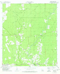
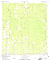
Tickfaw River meanders through the heart of Livingston Parish, defining a landscape of dense watercourses and early settlement patterns documented in this 1940 field examination. The southern portion of the area is anchored by the Illinois Central Railroad, which connects the communities of Livingston, Doyle, and Holden. This rail corridor, running parallel to U S Highway No 190, served as the primary economic artery for the region's timber and transit industries during the mid-century era.
Find a feature on this map
60 named features on this map. Tap any name to fly to it.
Don’t see what you’re looking for? This feature index may not catch every label — zoom into the map to look around manually.
Map Details
Editions of this 1950 Doyle Map
This is the sole edition of this map. No revisions or reprints were ever made.
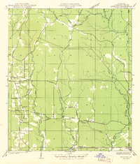
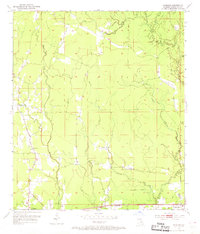
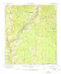
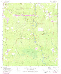
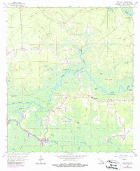
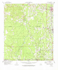
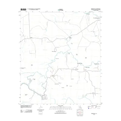
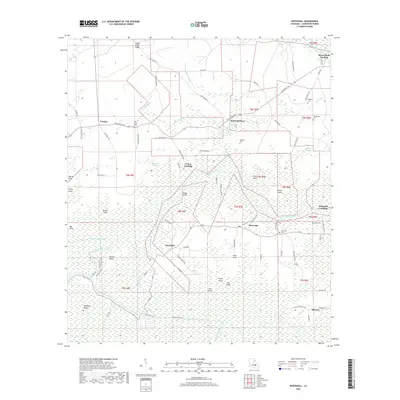
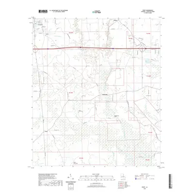
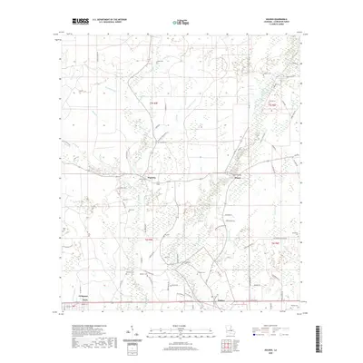
Historical Maps of Livingston Through Time
30 maps found
1942 Satsuma
Livingston Parish, LA
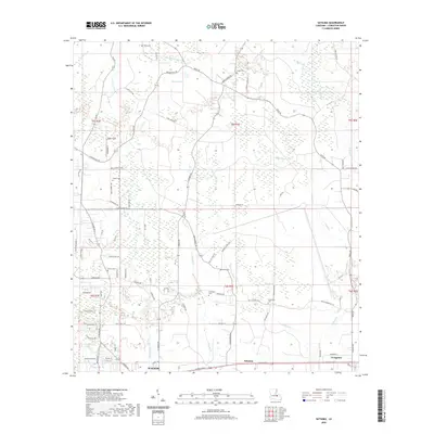
1950 Doyle
Livingston Parish, LA
1953 Satsuma
Livingston Parish, LA
1958 Pine Grove
Livingston Parish, LA
1959 Amite
Livingston Parish, LA
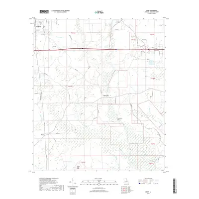
1963 Frost
Livingston Parish, LA
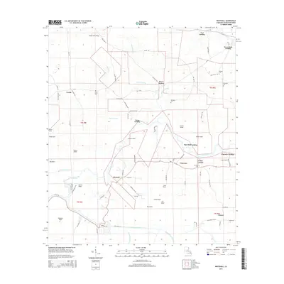
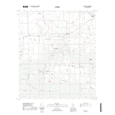
1963 Whitehall
Livingston Parish, LA
1974 Amite
Livingston Parish, LA
1974 Holden
Livingston Parish, LA
1980 Satsuma
Livingston Parish, LA
2012 Frost
Livingston Parish, LA
2012 Holden
Livingston Parish, LA
2012 Satsuma
Livingston Parish, LA
2012 Whitehall
Livingston Parish, LA
2015 Frost
Livingston Parish, LA
2015 Holden
Livingston Parish, LA
2015 Satsuma
Livingston Parish, LA
2015 Whitehall
Livingston Parish, LA
2018 Frost
Livingston Parish, LA
2018 Holden
Livingston Parish, LA
2018 Satsuma
Livingston Parish, LA
2018 Whitehall
Livingston Parish, LA
2020 Frost
Livingston Parish, LA
2020 Holden
Livingston Parish, LA
2020 Satsuma
Livingston Parish, LA
2020 Whitehall
Livingston Parish, LA
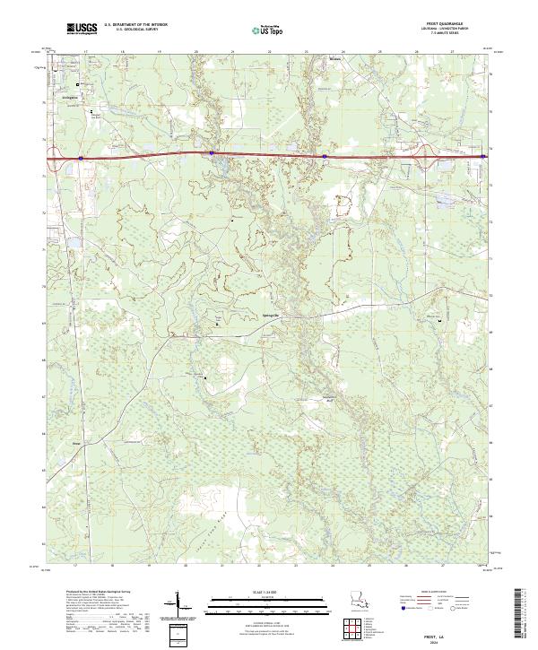
2024 Frost
Livingston Parish, LA
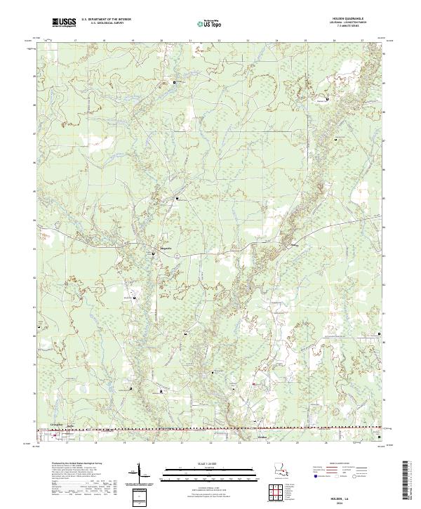
2024 Holden
Livingston Parish, LA
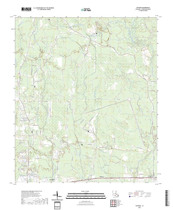
2024 Satsuma
Livingston Parish, LA
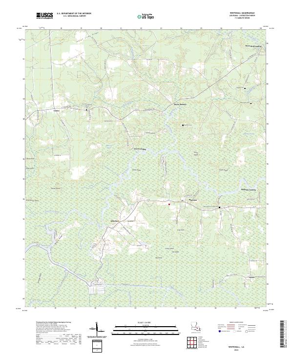
2024 Whitehall
Livingston Parish, LA