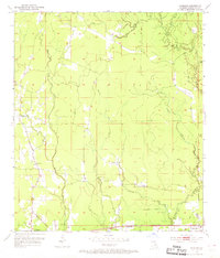
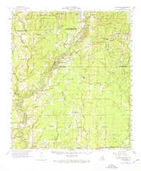
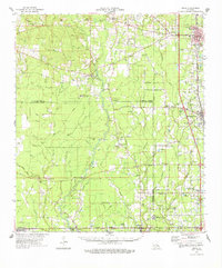
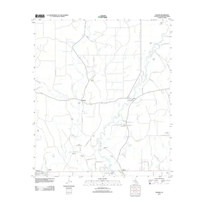
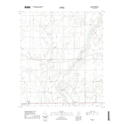
1953 Map of Satsuma
USGS Topo · Published 1969About this map
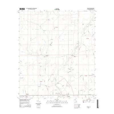
Livingston and Walker flank the southern edge of this Livingston Parish landscape, connected by the tracks of the Illinois Central railroad. The mid-century geography is defined by a dense network of waterways, including Middle Colyell Creek and Hornsby Creek, which drain the low-lying terrain. Local life in the 1950s centered around small rural institutions such as Friendship Ch, Judson Ch, and Mangum Chapel. The northern portion of the map reveals a more industrial or timber-focused history with an Old Railroad Grade winding through the woods near Little Beaver Dam Creek. Genealogists will find significant value in the identified burial grounds like Stafford Cem and Vickers Cem, alongside landmarks such as the Fairground and a Lookout Tower positioned near the eastern boundary.
Find a feature on this map
22 named features on this map. Tap any name to fly to it.
Don’t see what you’re looking for? This feature index may not catch every label — zoom into the map to look around manually.
Map Details
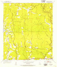
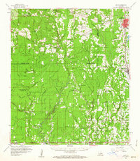
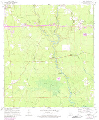
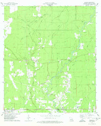
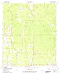
Editions of this 1953 Satsuma Map
2 editions found
Historical Maps of Walker Through Time
30 maps found
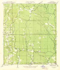
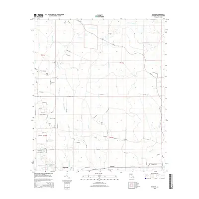
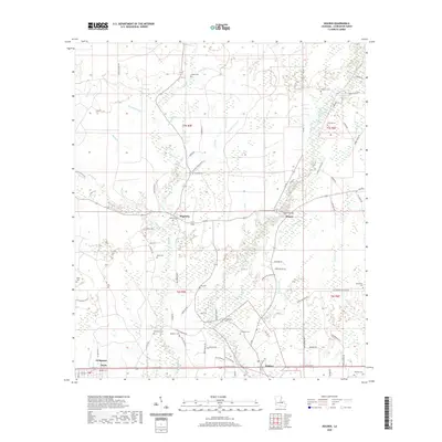
1942 Satsuma
Livingston Parish, LA
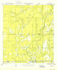
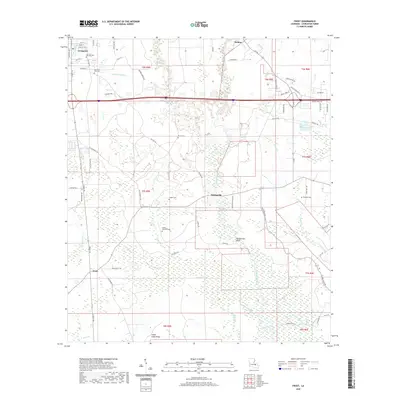
1950 Doyle
Livingston Parish, LA
1953 Satsuma
Livingston Parish, LA
1958 Pine Grove
Livingston Parish, LA
1959 Amite
Livingston Parish, LA
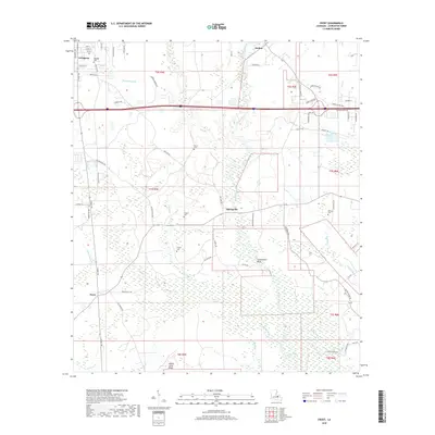
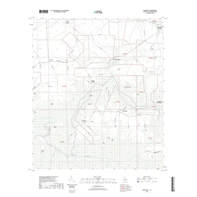
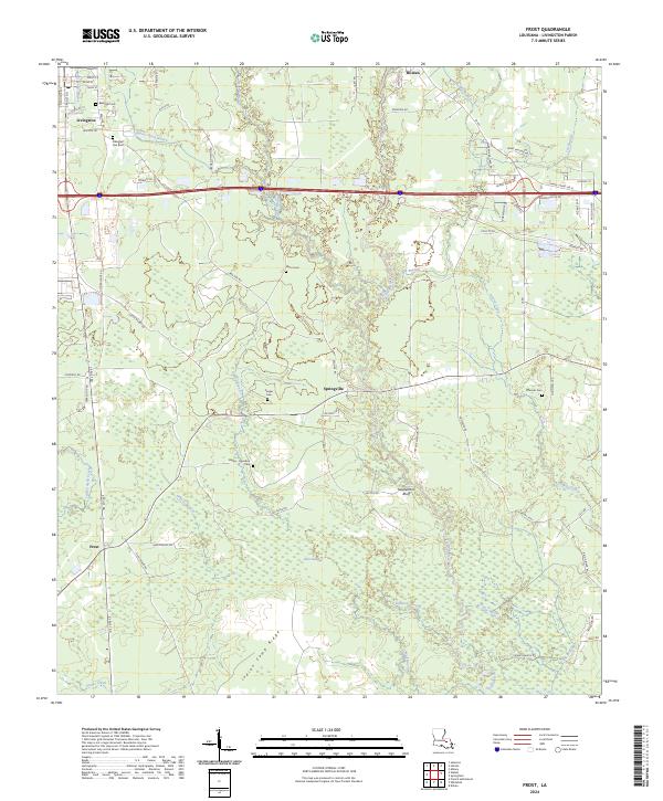
1963 Frost
Livingston Parish, LA
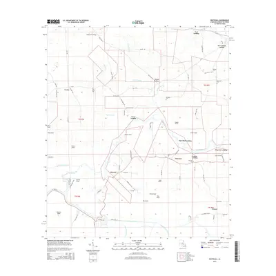
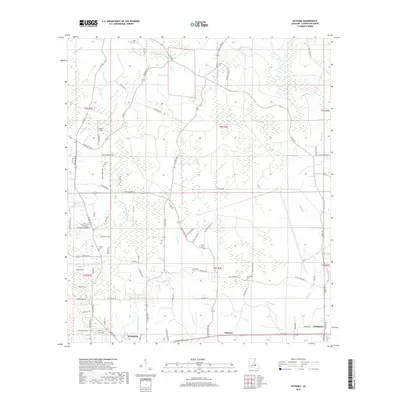
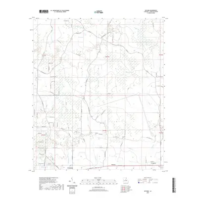
1963 Whitehall
Livingston Parish, LA
1974 Amite
Livingston Parish, LA
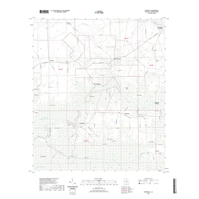
1974 Holden
Livingston Parish, LA
1980 Satsuma
Livingston Parish, LA
2012 Frost
Livingston Parish, LA
2012 Holden
Livingston Parish, LA
2012 Satsuma
Livingston Parish, LA
2012 Whitehall
Livingston Parish, LA
2015 Frost
Livingston Parish, LA
2015 Holden
Livingston Parish, LA
2015 Satsuma
Livingston Parish, LA
2015 Whitehall
Livingston Parish, LA
2018 Frost
Livingston Parish, LA
2018 Holden
Livingston Parish, LA
2018 Satsuma
Livingston Parish, LA
2018 Whitehall
Livingston Parish, LA
2020 Frost
Livingston Parish, LA
2020 Holden
Livingston Parish, LA
2020 Satsuma
Livingston Parish, LA
2020 Whitehall
Livingston Parish, LA
2024 Frost
Livingston Parish, LA
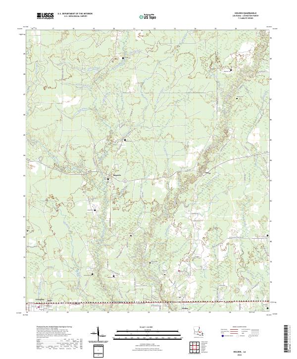
2024 Holden
Livingston Parish, LA
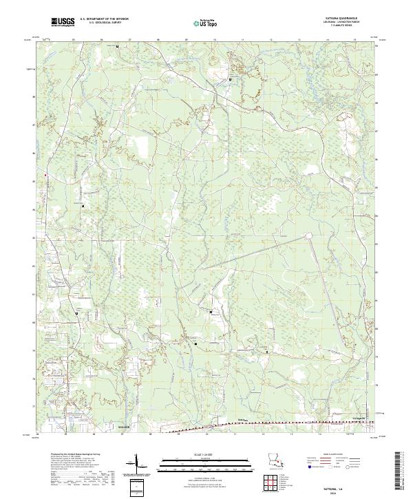
2024 Satsuma
Livingston Parish, LA
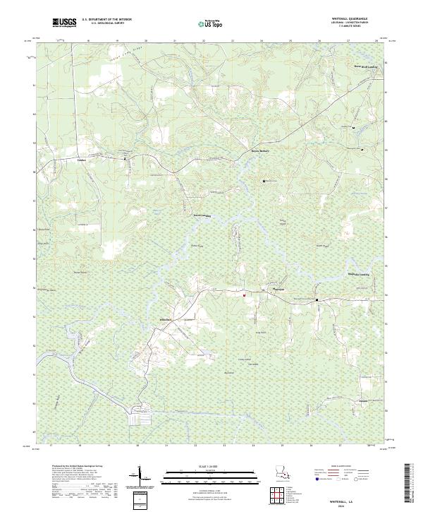
2024 Whitehall
Livingston Parish, LA