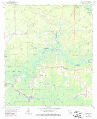
1963 Map of Whitehall
USGS Topo · Published 1989About this map
Amite River and Tickfaw River navigate the low-lying marshlands of southern Livingston Parish, where water dictates the pattern of settlement. This landscape is defined by the winding paths of the Old River and Petite Amite River, separating numerous islands such as Poche Island, Steam Island, and King George Island. Along the higher ground of Whitehall Coteau and Browns Ridge, local infrastructure including the Old Railroad Grade and the Chinquapin Canal point to an era of resource extraction and transit through the wetlands.
Find a feature on this map
61 named features on this map. Tap any name to fly to it.
Don’t see what you’re looking for? This feature index may not catch every label — zoom into the map to look around manually.
Map Details
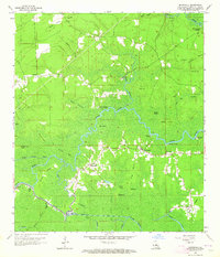
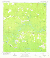
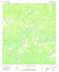
Editions of this 1963 Whitehall Map
4 editions found
Other maps of this area

1892 · Mount Airy
USGS Topo · 1:62,500

1892 · Donaldsonville
USGS Topo · 1:62,500

1934 · Denham Springs
USGS Topo · 1:62,500

1934 · Springfield
USGS Topo · 1:62,500

1939 · Springfield
USGS Topo · 1:62,500

1939 · Denham Springs
USGS Topo · 1:62,500

1939 · Donaldsonville
USGS Topo · 1:62,500

1946 · North of Garyville
USGS Topo · 1:31,680

1946 · Petite Amite River
USGS Topo · 1:31,680

1947 · Sorrento
USGS Topo · 1:31,680