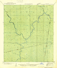
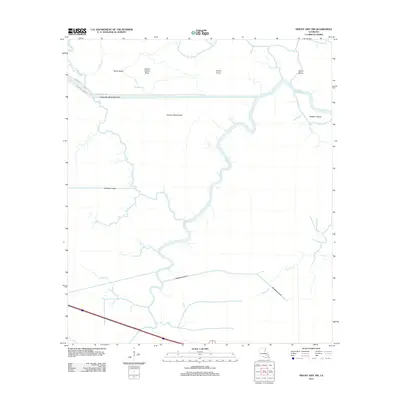
1946 Map of Petite Amite River
USGS Topo · Published 1946About this map
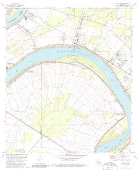
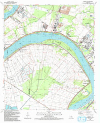
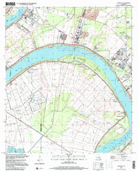
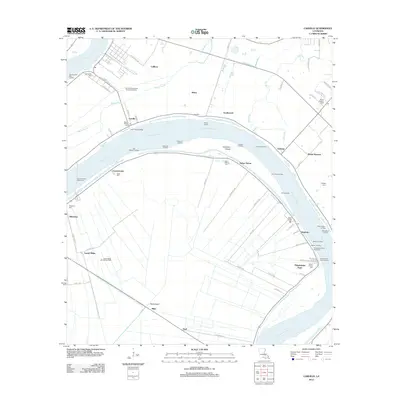
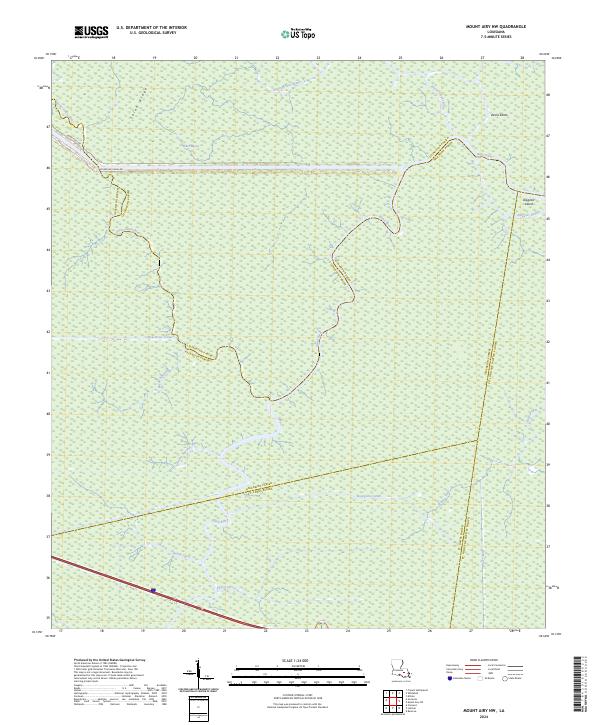
The Petite Amite River and the Blind River dominate this 1935 field examination, showcasing a landscape defined by an intricate network of subtropical waterways. The map illustrates a complex convergence of parish boundaries, where Ascension, Livingston, St. James, and St. John the Baptist parishes meet amidst the cypress swamps and bayous.
Find a feature on this map
17 named features on this map. Tap any name to fly to it.
Don’t see what you’re looking for? This feature index may not catch every label — zoom into the map to look around manually.
Map Details
Editions of this 1946 Petite Amite River Map
This is the sole edition of this map. No revisions or reprints were ever made.
Historical Maps of Livingston Parish Through Time
17 maps found
1946 Petite Amite River
Ascension Parish, LA
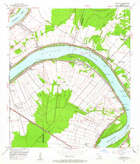
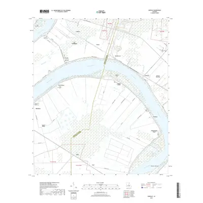
1953 Carville
Ascension Parish, LA
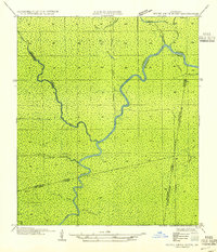
1954 Petite Amite River
Ascension Parish, LA
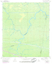
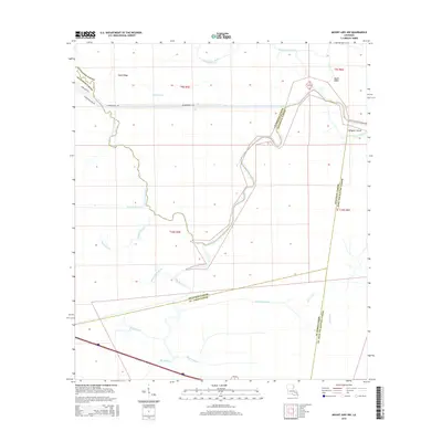
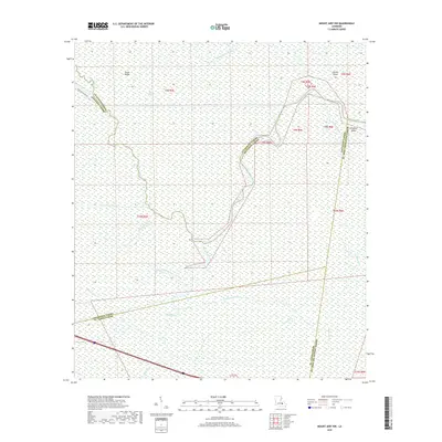
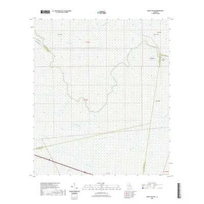
1962 Mount Airy NW
Ascension Parish, LA
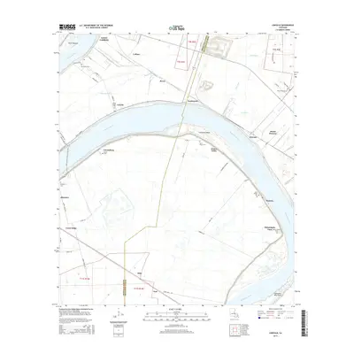
1974 Carville
Ascension Parish, LA
1992 Carville
Ascension Parish, LA
1999 Carville
Ascension Parish, LA
2012 Carville
Ascension Parish, LA
2012 Mount Airy NW
Ascension Parish, LA
2015 Carville
Ascension Parish, LA
2015 Mount Airy NW
Ascension Parish, LA
2018 Carville
Ascension Parish, LA
2018 Mount Airy NW
Ascension Parish, LA
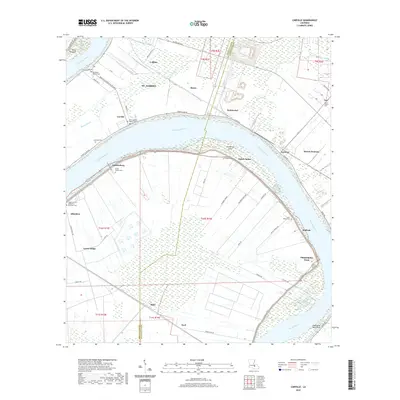
2020 Carville
Ascension Parish, LA
2020 Mount Airy NW
Ascension Parish, LA
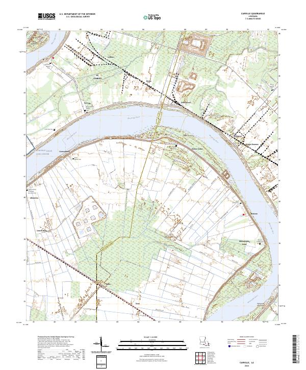
2024 Carville
Ascension Parish, LA
2024 Mount Airy NW
Ascension Parish, LA
Featured Locations
- United States
- Ascension Parish, LA
- Livingston Parish, LA
- St. James Parish, LA
- St. John the Baptist Parish, LA