
1892 Map of Mount Airy
USGS Topo · Published 1892About this map
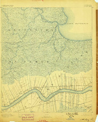
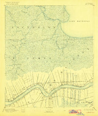
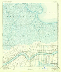
The Mississippi River defines the landscape of this 1892 survey, carving through the southern reaches of the quadrangle at Grand View Reach and the dramatic Willow Bend. The riverfront is characterized by the long, narrow ribbon-lot land divisions of the French colonial system, which cluster settlements like Edgard, Mt Airy, and Terre Haute along the natural levees. These communities are linked by competing transit lines on either bank: the Louisville New Orleans and Texas Railroad to the north and the Texas and Pacific Railroad to the south.
Find a feature on this map
37 named features on this map. Tap any name to fly to it.
Don’t see what you’re looking for? This feature index may not catch every label — zoom into the map to look around manually.
Map Details
Editions of this 1892 Mount Airy Map
4 editions found
Other maps of this area

1891 · Hahnville
USGS Topo · 1:62,500

1892 · Lac Des Allemands
USGS Topo · 1:62,500

1892 · Bonnet Carre
USGS Topo · 1:62,500

1892 · Donaldsonville
USGS Topo · 1:62,500

1892 · Thibodaux
USGS Topo · 1:62,500

1932 · Lac Des Allemands NW
USGS Topo · 1:31,680

1932 · Thibodaux NE
USGS Topo · 1:31,680

1932 · Hahnville NW
USGS Topo · 1:31,680

1932 · Lac Des Allemands NE
USGS Topo · 1:31,680

1934 · Denham Springs
USGS Topo · 1:62,500