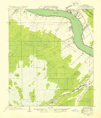
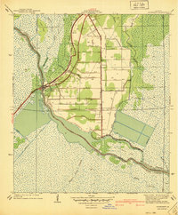
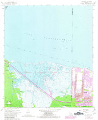
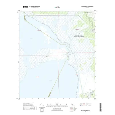
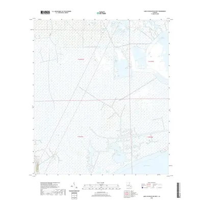
1932 Map of Hahnville NW
USGS Topo · Published 1932About this map
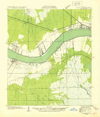
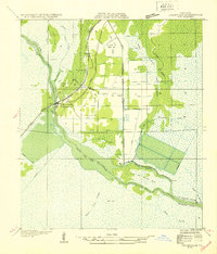
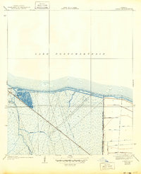
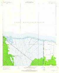
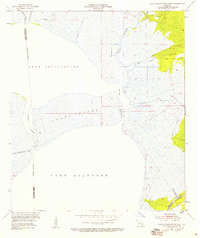
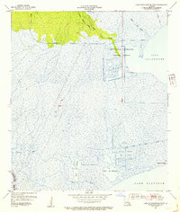
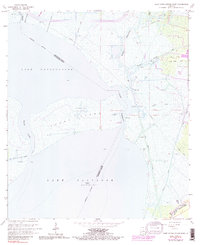
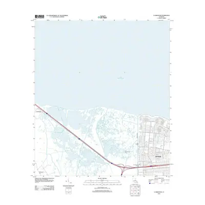
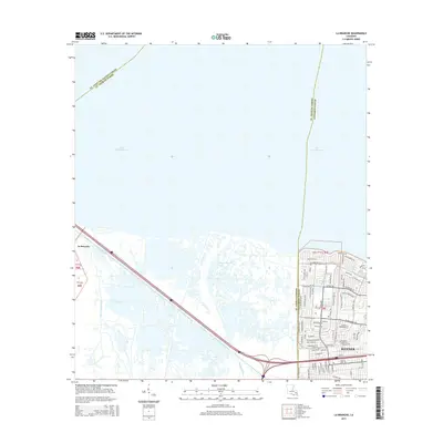
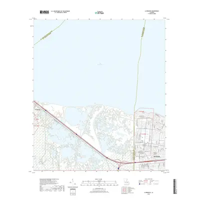
The Mississippi River creates a dramatic curve at Hahnville, anchoring a landscape defined by intensive riparian settlement and the vast cypress swamps of St. Charles Parish. Compiled from 1932 field examinations and Army Air Corps photography, this survey reveals the early 20th-century transition of the River Parishes. Significant railroad infrastructure, including the Illinois Central, Y & M V RR, and Southern Pacific, cuts through the alluvial flats to connect riverfront towns like Destrehan and Goodhope.
Find a feature on this map
42 named features on this map. Tap any name to fly to it.
Don’t see what you’re looking for? This feature index may not catch every label — zoom into the map to look around manually.
Map Details
Editions of this 1932 Hahnville NW Map
This is the sole edition of this map. No revisions or reprints were ever made.
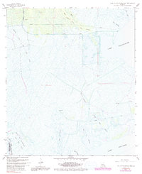
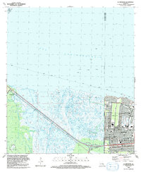
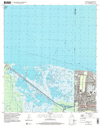
Historical Maps of Flagville Through Time
32 maps found
1932 Hahnville NE
St. Charles Parish, LA
1932 Hahnville NW
St. Charles Parish, LA
1932 Hahnville SW
St. Charles Parish, LA

1932 New Orleans SW
St. Charles Parish, LA
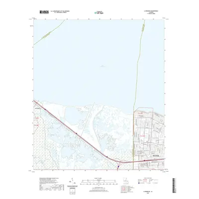
1938 La Branche
St. Charles Parish, LA
1940 Allemands
St. Charles Parish, LA
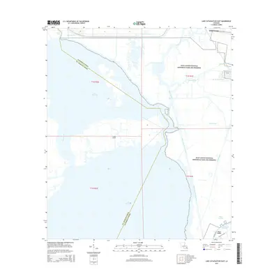
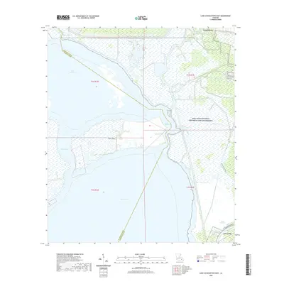
1942 Lake Cataouatche East
St. Charles Parish, LA
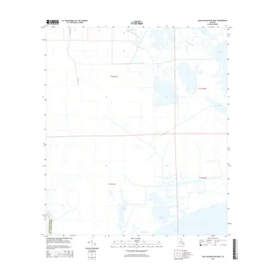
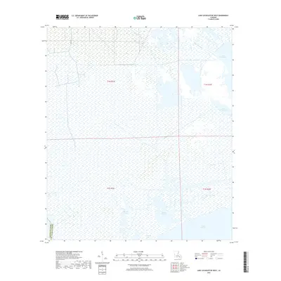
1942 Lake Cataouatche West
St. Charles Parish, LA
1952 Allemands
St. Charles Parish, LA
1952 La Branche
St. Charles Parish, LA
1952 Lake Cataouatche East
St. Charles Parish, LA
1952 Lake Cataouatche West
St. Charles Parish, LA
1966 Lake Cataouatche East
St. Charles Parish, LA
1967 La Branche
St. Charles Parish, LA
1967 Lake Cataouatche West
St. Charles Parish, LA
1992 La Branche
St. Charles Parish, LA
1999 La Branche
St. Charles Parish, LA
2012 La Branche
St. Charles Parish, LA
2012 Lake Cataouatche East
St. Charles Parish, LA
2012 Lake Cataouatche West
St. Charles Parish, LA
2015 La Branche
St. Charles Parish, LA
2015 Lake Cataouatche East
St. Charles Parish, LA
2015 Lake Cataouatche West
St. Charles Parish, LA
2018 La Branche
St. Charles Parish, LA
2018 Lake Cataouatche East
St. Charles Parish, LA
2018 Lake Cataouatche West
St. Charles Parish, LA
2020 La Branche
St. Charles Parish, LA
2020 Lake Cataouatche East
St. Charles Parish, LA
2020 Lake Cataouatche West
St. Charles Parish, LA
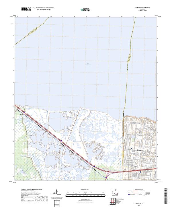
2024 La Branche
St. Charles Parish, LA
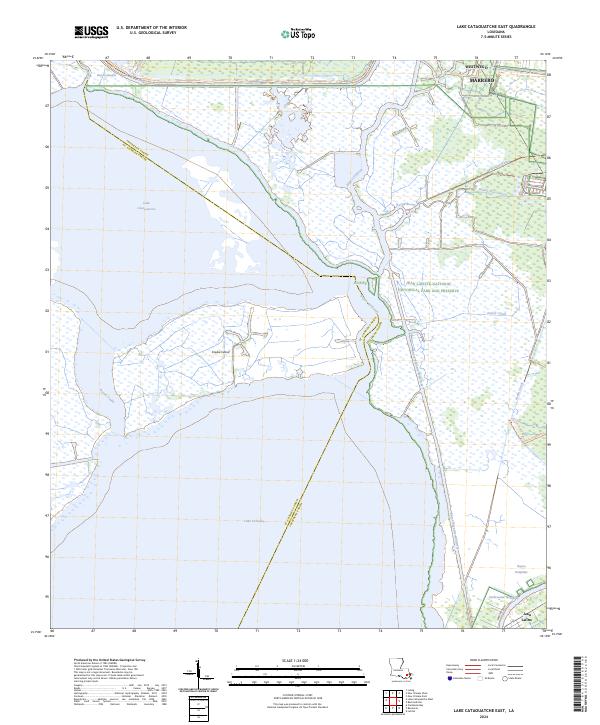
2024 Lake Cataouatche East
St. Charles Parish, LA
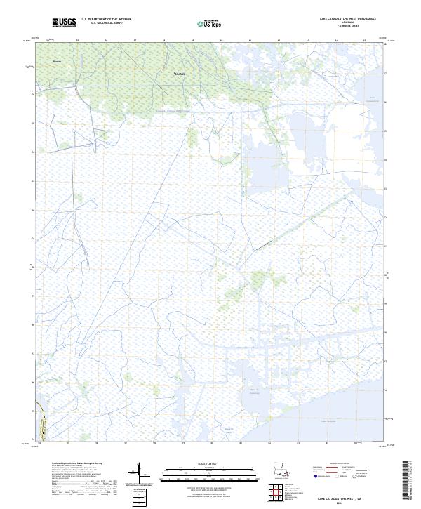
2024 Lake Cataouatche West
St. Charles Parish, LA