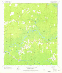
1963 Map of Whitehall
USGS Topo · Published 1975About this map
The low-lying swamp and river lands of Livingston Parish define this early 1960s landscape, where the Tickfaw River and Amite River converge near Lake Maurepas. The small settlements of Whitehall and Maurepas serve as local hubs, connected by a network of bayous and landings that emphasize the region's historical reliance on water transport. Features such as Union Landing, Catfish Landing, and Magnolia Landing illustrate the riverine economy of the era, while an Old Railroad Grade suggests a legacy of industrial activity now secondary to the shifting waterways.
Find a feature on this map
53 named features on this map. Tap any name to fly to it.
Don’t see what you’re looking for? This feature index may not catch every label — zoom into the map to look around manually.
Map Details
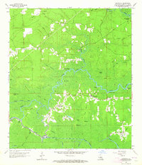
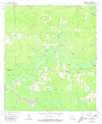
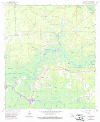
Editions of this 1963 Whitehall Map
4 editions found
Other maps of this area

1892 · Mount Airy
USGS Topo · 1:62,500

1892 · Donaldsonville
USGS Topo · 1:62,500

1934 · Denham Springs
USGS Topo · 1:62,500

1934 · Springfield
USGS Topo · 1:62,500

1939 · Springfield
USGS Topo · 1:62,500

1939 · Denham Springs
USGS Topo · 1:62,500

1939 · Donaldsonville
USGS Topo · 1:62,500

1946 · North of Garyville
USGS Topo · 1:31,680

1946 · Petite Amite River
USGS Topo · 1:31,680

1947 · Sorrento
USGS Topo · 1:31,680