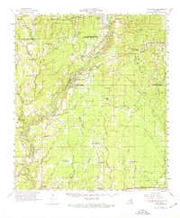
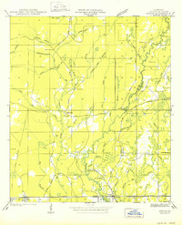
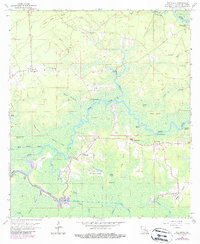
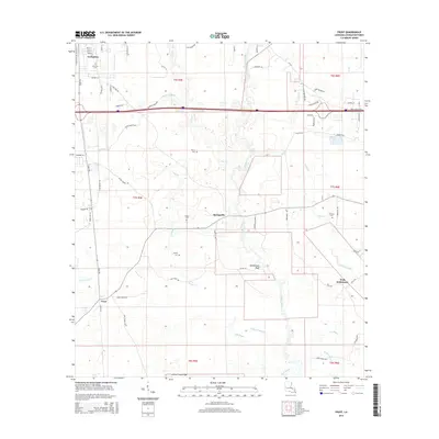
1958 Map of Pine Grove
USGS Topo · Published 1976About this map
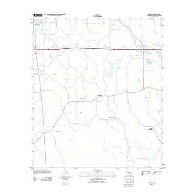
The Amite River meanders south through the heart of this mid-century landscape, marking the boundaries between East Feliciana, East Baton Rouge, and Livingston Parishes. This area reflects a quiet rural character defined by small settlements like Pine Grove and Grangeville in the north, and the growing community of Denham Springs at the southern edge. The map reveals a dense network of family-named landmarks and local institutions, such as Donald Chapel, St Josephs Ch, and Judson Ch, which served as the social anchors for these dispersed communities.
Find a feature on this map
84 named features on this map. Tap any name to fly to it.
Don’t see what you’re looking for? This feature index may not catch every label — zoom into the map to look around manually.
Map Details
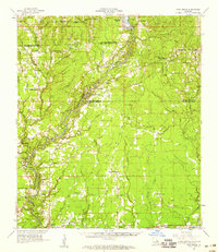
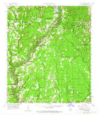
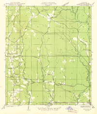
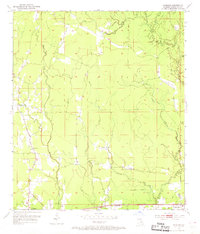
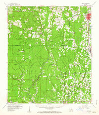
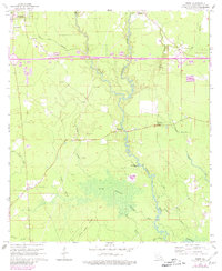
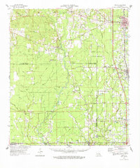
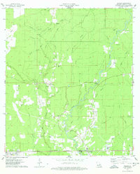
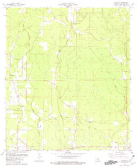
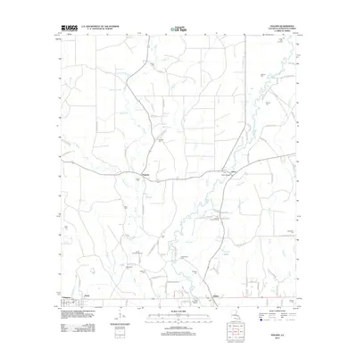
Editions of this 1958 Pine Grove Map
3 editions found
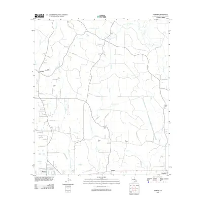
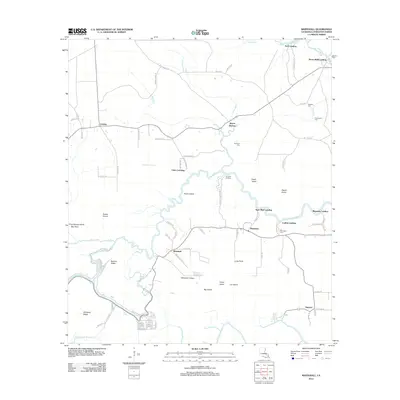
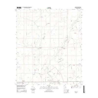
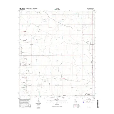
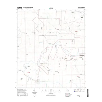
Historical Maps of Central Through Time
30 maps found
1942 Satsuma
Livingston Parish, LA
1950 Doyle
Livingston Parish, LA
1953 Satsuma
Livingston Parish, LA
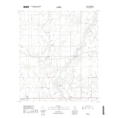
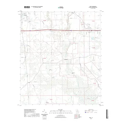
1958 Pine Grove
Livingston Parish, LA
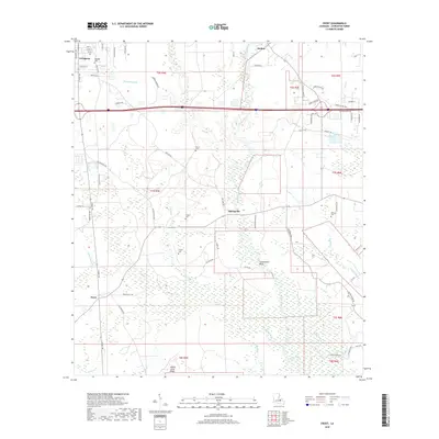
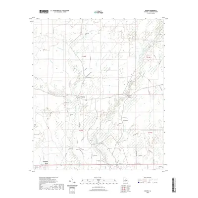
1959 Amite
Livingston Parish, LA
1963 Frost
Livingston Parish, LA
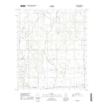
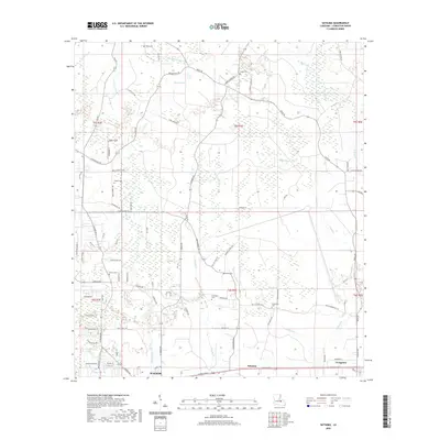
1963 Whitehall
Livingston Parish, LA
1974 Amite
Livingston Parish, LA
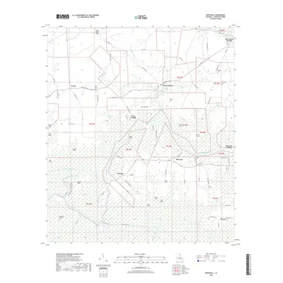
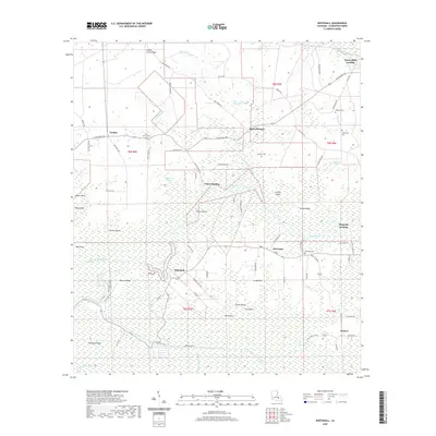
1974 Holden
Livingston Parish, LA
1980 Satsuma
Livingston Parish, LA
2012 Frost
Livingston Parish, LA
2012 Holden
Livingston Parish, LA
2012 Satsuma
Livingston Parish, LA
2012 Whitehall
Livingston Parish, LA
2015 Frost
Livingston Parish, LA
2015 Holden
Livingston Parish, LA
2015 Satsuma
Livingston Parish, LA
2015 Whitehall
Livingston Parish, LA
2018 Frost
Livingston Parish, LA
2018 Holden
Livingston Parish, LA
2018 Satsuma
Livingston Parish, LA
2018 Whitehall
Livingston Parish, LA
2020 Frost
Livingston Parish, LA
2020 Holden
Livingston Parish, LA
2020 Satsuma
Livingston Parish, LA
2020 Whitehall
Livingston Parish, LA
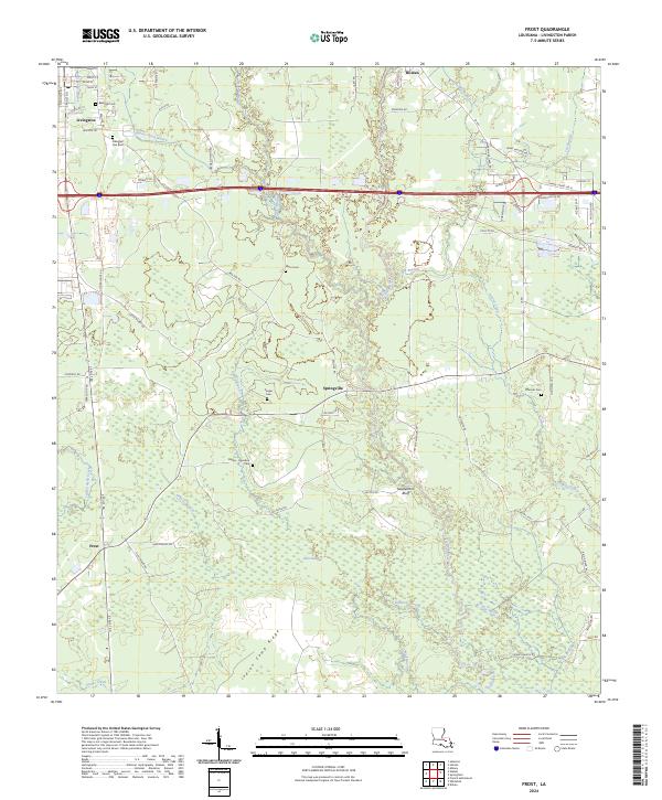
2024 Frost
Livingston Parish, LA
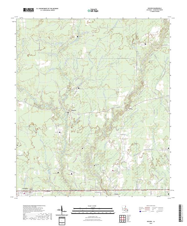
2024 Holden
Livingston Parish, LA
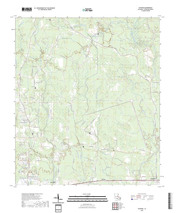
2024 Satsuma
Livingston Parish, LA
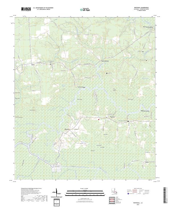
2024 Whitehall
Livingston Parish, LA