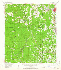
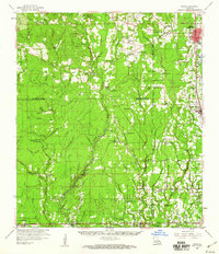
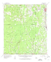
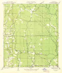
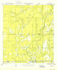
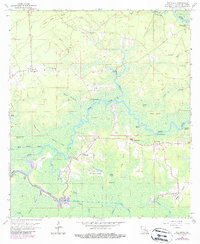
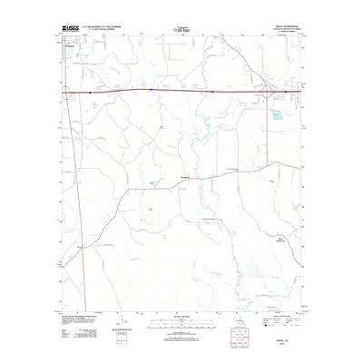
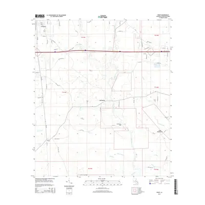
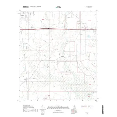
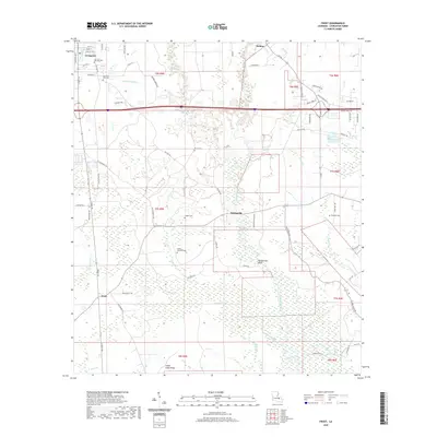
1959 Map of Amite
USGS Topo · Published 1963About this map
The Tickfaw River and Natalbany River systems define this mid-century landscape across the borders of Livingston, St. Helena, and Tangipahoa Parishes. At the northern end of the quadrangle, the parish seat of Amite (Amite City) serves as a primary hub alongside the Illinois Central railroad, which also connects the community of Independence. The southern portion of the map is dominated by a transition into lower-lying terrain, where Bills Bayou and Hog Branch weave through timbered areas. This map reveals a high density of rural institutions, such as Macedonia Ch and New Shiloh Ch, alongside numerous family-named burial grounds like Sharkey Cem and Hutchinson Cem. These markers, along with schools like Fifth Ward Sch, provide a detailed record of the social geography before later 20th-century development shifted the region's character.
Find a feature on this map
130 named features on this map. Tap any name to fly to it.
Don’t see what you’re looking for? This feature index may not catch every label — zoom into the map to look around manually.
Map Details
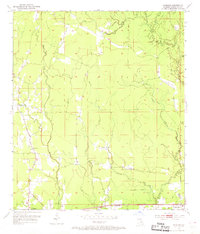
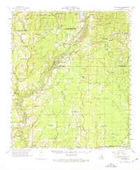
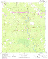
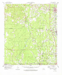
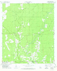
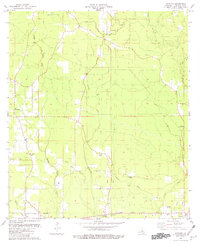
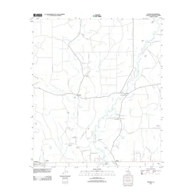
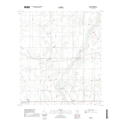
Editions of this 1959 Amite Map
3 editions found
Historical Maps of Hammond Through Time
30 maps found
1942 Satsuma
Livingston Parish, LA
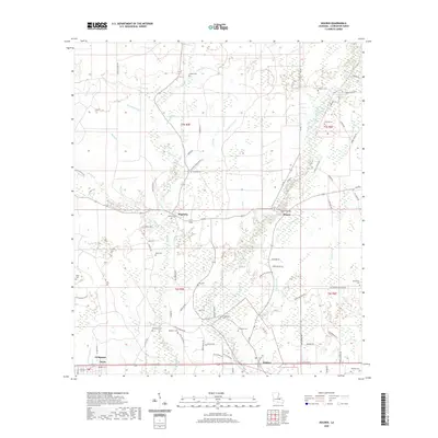
1950 Doyle
Livingston Parish, LA
1953 Satsuma
Livingston Parish, LA
1958 Pine Grove
Livingston Parish, LA
1959 Amite
Livingston Parish, LA
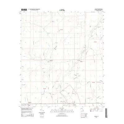
1963 Frost
Livingston Parish, LA
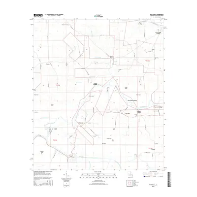
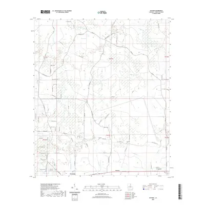
1963 Whitehall
Livingston Parish, LA
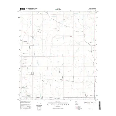
1974 Amite
Livingston Parish, LA
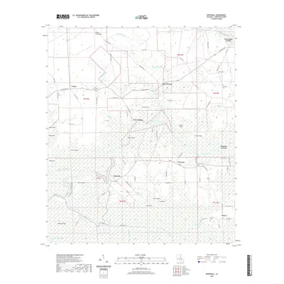
1974 Holden
Livingston Parish, LA
1980 Satsuma
Livingston Parish, LA
2012 Frost
Livingston Parish, LA
2012 Holden
Livingston Parish, LA
2012 Satsuma
Livingston Parish, LA
2012 Whitehall
Livingston Parish, LA
2015 Frost
Livingston Parish, LA
2015 Holden
Livingston Parish, LA
2015 Satsuma
Livingston Parish, LA
2015 Whitehall
Livingston Parish, LA
2018 Frost
Livingston Parish, LA
2018 Holden
Livingston Parish, LA
2018 Satsuma
Livingston Parish, LA
2018 Whitehall
Livingston Parish, LA
2020 Frost
Livingston Parish, LA
2020 Holden
Livingston Parish, LA
2020 Satsuma
Livingston Parish, LA
2020 Whitehall
Livingston Parish, LA
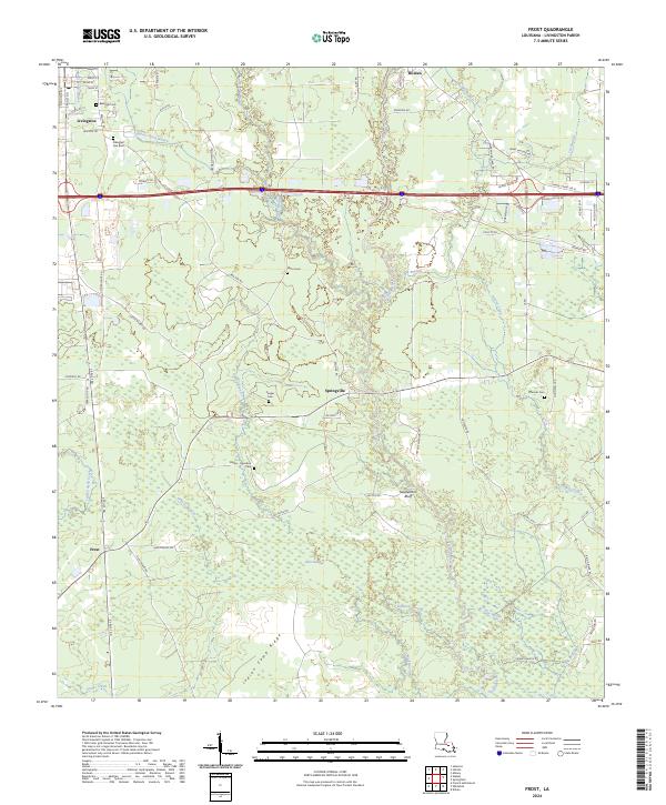
2024 Frost
Livingston Parish, LA
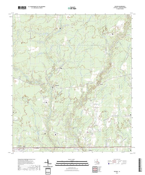
2024 Holden
Livingston Parish, LA
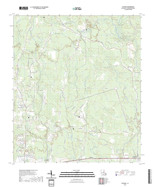
2024 Satsuma
Livingston Parish, LA
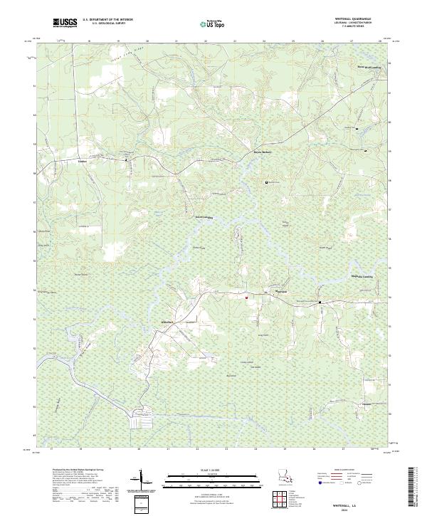
2024 Whitehall
Livingston Parish, LA