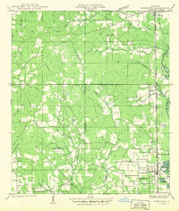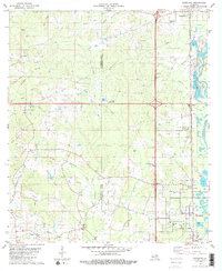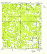
1940 Map of Roseland
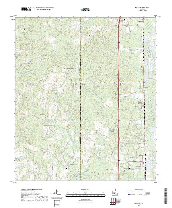
USGS Topo · Published 1954About this map
The Illinois Central Railroad corridor anchors this 1940 examination of Tangipahoa Parish, tracing a line of settlements from Tangipahoa south through Fluker, Arcola, and Roseland. This transportation spine defines the eastern edge of the survey, where small communities cluster around the tracks and state highways. To the west, the landscape is characterized by a dense network of watercourses including the Natalbany River and its numerous tributaries like South Fork Jennys Branch and Barksdale Branch.
Find a feature on this map
42 named features on this map. Tap any name to fly to it.
Don’t see what you’re looking for? This feature index may not catch every label — zoom into the map to look around manually.
Map Details
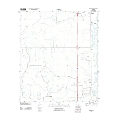
Editions of this 1940 Roseland Map
This is the sole edition of this map. No revisions or reprints were ever made.
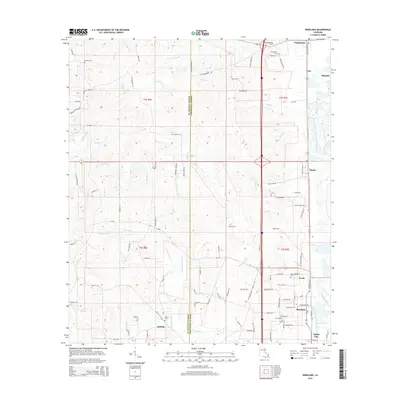
Historical Maps of Roseland Through Time
8 maps found