
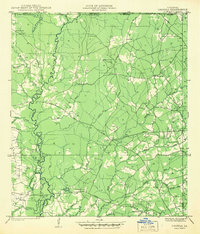
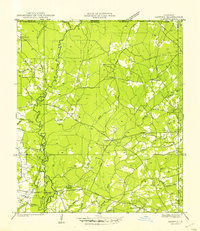
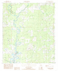
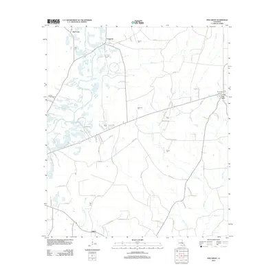
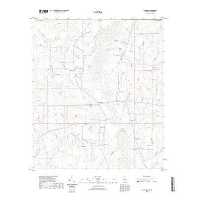
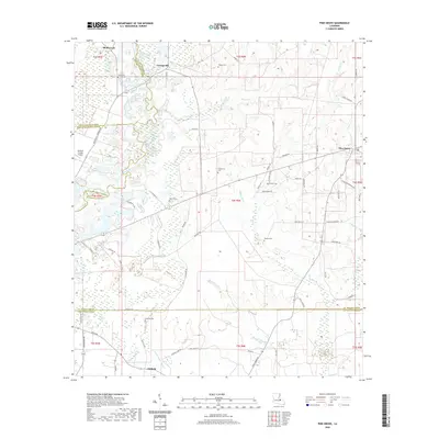
1942 Map of Liverpool
USGS Topo · Published 1942About this map
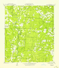
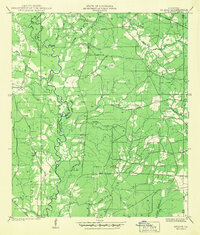
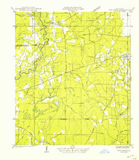
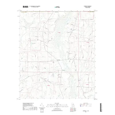
St Helena Parish sits along the Mississippi-Louisiana border in this early 1940s survey, revealing a landscape defined by small rural settlements and a dense network of family-named cemeteries. The Tickfaw River and Little Tickfaw River wind through the center of the sheet, fed by numerous branches like Cotton Patch Branch and Bridges Branch. The settlement of Liverpool serves as a local hub, anchored by the Liverpool Fire Tower and nearby Days Ch.
Find a feature on this map
53 named features on this map. Tap any name to fly to it.
Don’t see what you’re looking for? This feature index may not catch every label — zoom into the map to look around manually.
Map Details
Editions of this 1942 Liverpool Map
This is the sole edition of this map. No revisions or reprints were ever made.
Historical Maps of Easleyville Through Time
30 maps found
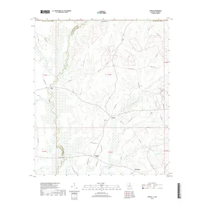
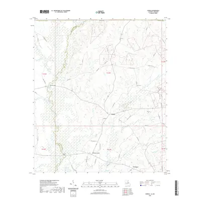
1941 Chipola
St. Helena Parish, LA
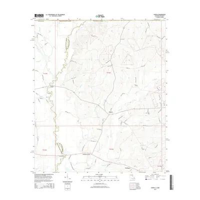
1941 Gilead
St. Helena Parish, LA
1942 Gilead
St. Helena Parish, LA
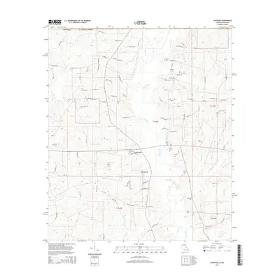
1942 Liverpool
St. Helena Parish, LA
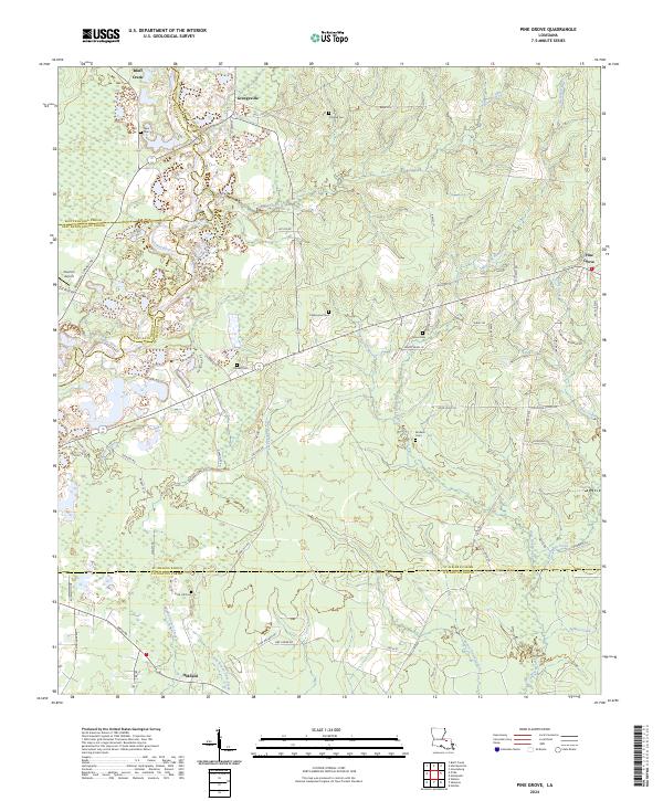
1942 Pine Grove
St. Helena Parish, LA
1945 Chipola
St. Helena Parish, LA
1980 Pine Grove
St. Helena Parish, LA
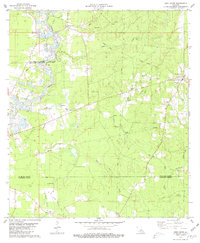
1981 Liverpool
St. Helena Parish, LA
1984 Chipola
St. Helena Parish, LA
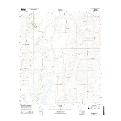
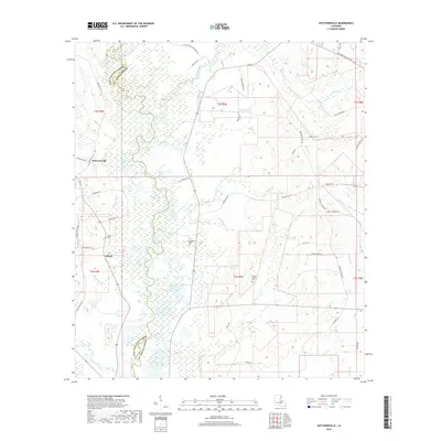
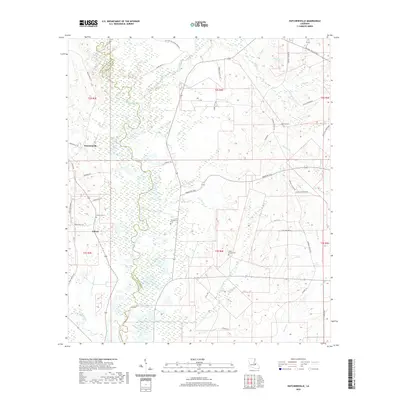
1984 Hatchersville
St. Helena Parish, LA
2012 Chipola
St. Helena Parish, LA
2012 Hatchersville
St. Helena Parish, LA
2012 Liverpool
St. Helena Parish, LA
2012 Pine Grove
St. Helena Parish, LA
2015 Chipola
St. Helena Parish, LA
2015 Hatchersville
St. Helena Parish, LA
2015 Liverpool
St. Helena Parish, LA
2015 Pine Grove
St. Helena Parish, LA
2018 Chipola
St. Helena Parish, LA
2018 Hatchersville
St. Helena Parish, LA
2018 Liverpool
St. Helena Parish, LA
2018 Pine Grove
St. Helena Parish, LA
2020 Chipola
St. Helena Parish, LA
2020 Hatchersville
St. Helena Parish, LA
2020 Liverpool
St. Helena Parish, LA
2020 Pine Grove
St. Helena Parish, LA
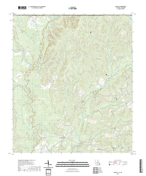
2024 Chipola
St. Helena Parish, LA
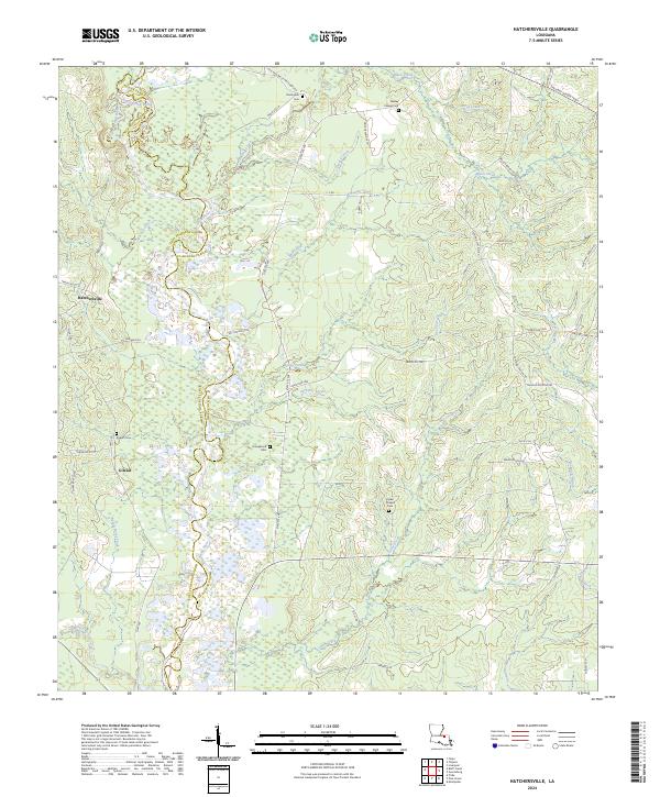
2024 Hatchersville
St. Helena Parish, LA
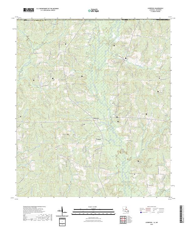
2024 Liverpool
St. Helena Parish, LA
2024 Pine Grove
St. Helena Parish, LA