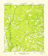
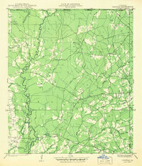
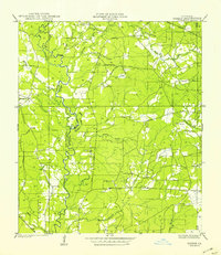
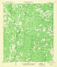
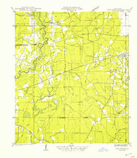
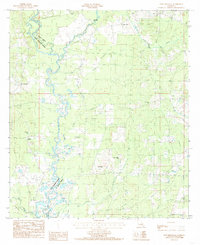
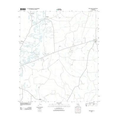
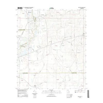
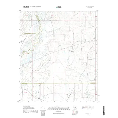
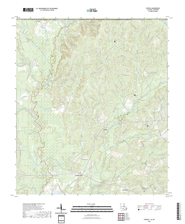
1945 Map of Chipola
USGS Topo · Published 1945About this map
The winding Amite River defines the western edge of this 1940s landscape, weaving through the timber and bottomlands of St. Helena Parish. Centered on the crossroads of Chipola, this survey captures a rural Louisiana community sustained by a network of local schools and churches. Public education is represented by the Riverside Sch, St Helena Sch, and Centerville Sch, each serving the scattered families of the surrounding countryside.
Find a feature on this map
22 named features on this map. Tap any name to fly to it.
Don’t see what you’re looking for? This feature index may not catch every label — zoom into the map to look around manually.
Map Details
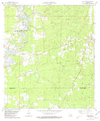
Editions of this 1945 Chipola Map
This is the sole edition of this map. No revisions or reprints were ever made.
Historical Maps of Darlington Through Time
30 maps found
1941 Chipola
St. Helena Parish, LA
1941 Gilead
St. Helena Parish, LA
1942 Gilead
St. Helena Parish, LA

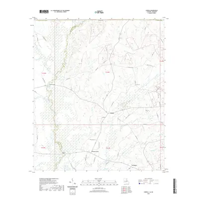
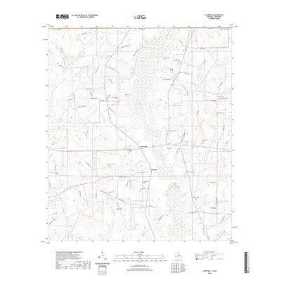
1942 Liverpool
St. Helena Parish, LA
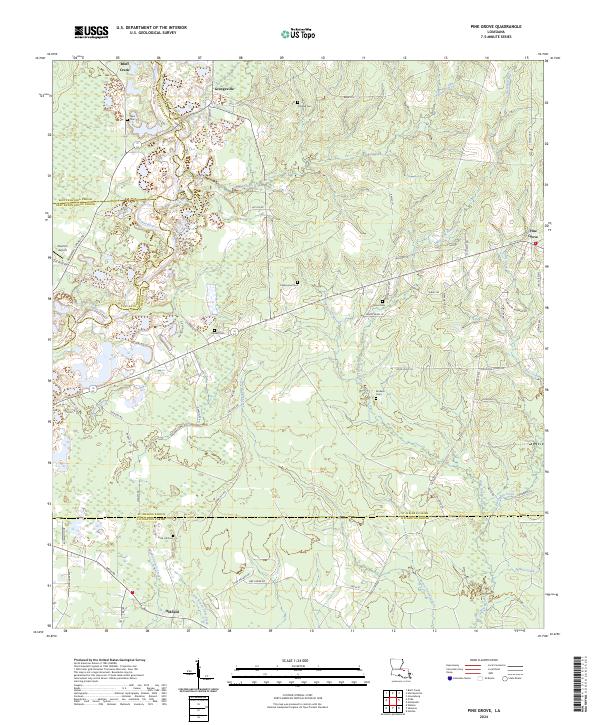
1942 Pine Grove
St. Helena Parish, LA
1945 Chipola
St. Helena Parish, LA
1980 Pine Grove
St. Helena Parish, LA
1981 Liverpool
St. Helena Parish, LA
1984 Chipola
St. Helena Parish, LA
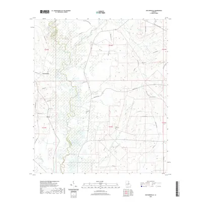
1984 Hatchersville
St. Helena Parish, LA
2012 Chipola
St. Helena Parish, LA
2012 Hatchersville
St. Helena Parish, LA
2012 Liverpool
St. Helena Parish, LA
2012 Pine Grove
St. Helena Parish, LA
2015 Chipola
St. Helena Parish, LA
2015 Hatchersville
St. Helena Parish, LA
2015 Liverpool
St. Helena Parish, LA
2015 Pine Grove
St. Helena Parish, LA
2018 Chipola
St. Helena Parish, LA
2018 Hatchersville
St. Helena Parish, LA
2018 Liverpool
St. Helena Parish, LA
2018 Pine Grove
St. Helena Parish, LA
2020 Chipola
St. Helena Parish, LA
2020 Hatchersville
St. Helena Parish, LA
2020 Liverpool
St. Helena Parish, LA
2020 Pine Grove
St. Helena Parish, LA
2024 Chipola
St. Helena Parish, LA
2024 Hatchersville
St. Helena Parish, LA
2024 Liverpool
St. Helena Parish, LA
2024 Pine Grove
St. Helena Parish, LA