Loading...
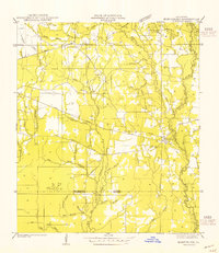
Loading map...1954 Map of Montpelier
USGS Topo · Published 1954About this map
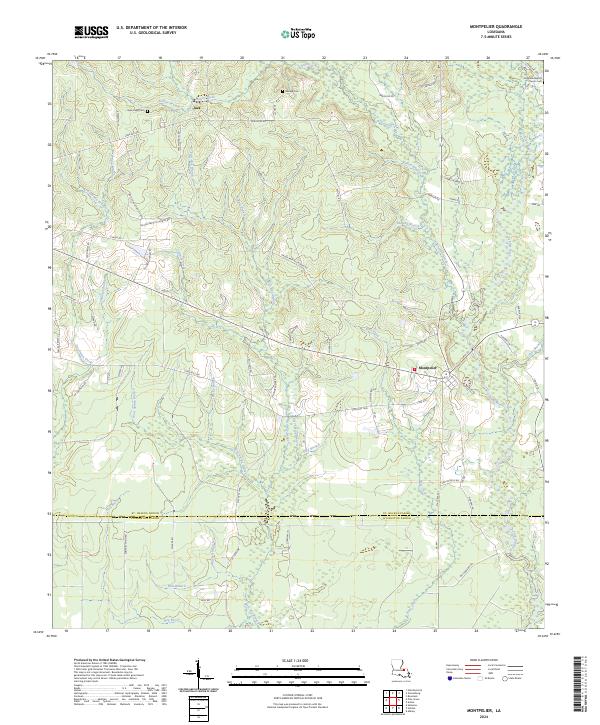
The Tickfaw River meanders through the eastern portion of this 1954 advance sheet, defining the landscape near Montpelier. This inland pocket of St. Helena Parish reveals a mid-century rural infrastructure dominated by small schoolhouses and country churches. The map identifies local educational landmarks such as Rocky Hill Sch, New Hope Sch, and Morgan Sch, reflecting a distributed community network before the era of district consolidation.
Find a feature on this map
37 named features on this map. Tap any name to fly to it.
Don’t see what you’re looking for? This feature index may not catch every label — zoom into the map to look around manually.
Map Details
Date Portrayed1954
Date Published1954
PublisherU.S. Geological Survey
Map TypeTopographic
Scale1:31,680
Physical Dimensions17.9 x 20.7 inches
Editions of this 1954 Montpelier Map
This is the sole edition of this map. No revisions or reprints were ever made.
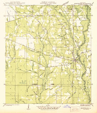
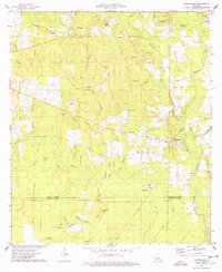
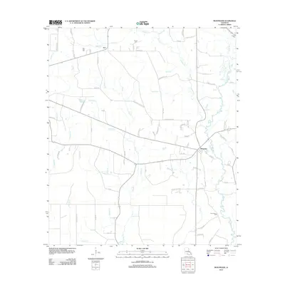
Historical Maps of Montpelier Through Time
8 maps found
Featured Locations
Source Details
SourceU.S. Geological Survey
CopyrightPublic Domain