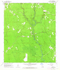
1963 Map of Frost
USGS Topo · Published 1964About this map
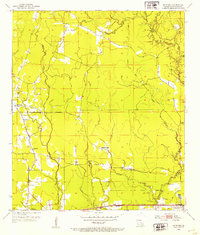
The winding Tickfaw River defines the heart of this Livingston Parish landscape, cutting a serpentine path through dense timber and marshy lowlands in the early 1960s. To the north, the small settlement of Livingston serves as a local anchor, while the communities of Frost, Holden, and Springville are connected by a network of rural roads. The area's history is preserved in several family and church burial grounds, including Red Oak Cem, McLin Cem, and Smiley Cem, which are scattered throughout the wooded uplands. South of the main river bend, the broad, flat expanse of Gum Swamp lies just east of Indian Camp Ridge, illustrating the transition from agricultural clearings to the wet bottomlands of the Deep South. Distinctive landmarks like the Springville Lookout Tower and Saulsettoon Bluff provide vertical relief in an otherwise subtle terrain of bayous and branches.
Find a feature on this map
29 named features on this map. Tap any name to fly to it.
Don’t see what you’re looking for? This feature index may not catch every label — zoom into the map to look around manually.
Map Details
Editions of this 1963 Frost Map
3 editions found
Other maps of this area

1934 · Denham Springs
USGS Topo · 1:62,500

1934 · Springfield
USGS Topo · 1:62,500

1939 · Springfield
USGS Topo · 1:62,500

1939 · Denham Springs
USGS Topo · 1:62,500

1942 · Satsuma
USGS Topo · 1:31,680

1949 · Albany
USGS Topo · 1:31,680

1950 · Doyle
USGS Topo · 1:31,680

1953 · Walker
USGS Topo · 1:24,000
1953 · French Settlement
USGS Topo · 1:24,000
1953 · Satsuma
USGS Topo · 1:24,000