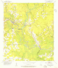
1953 Map of French Settlement
USGS Topo · Published 1954About this map
The Amite River defines the landscape of this mid-century survey, winding through the low-lying terrain of the Livingston Parish and Ascension Parish border. Small riverfront communities such as Port Vincent and French Settlement serve as focal points for local navigation and commerce, connected by a network of bayous and lakes. The area is dense with named water features like Colyell Bay, Flat Lake, and Boudreau Bayou, which historically shaped the settlement patterns of this swampy region.
Find a feature on this map
54 named features on this map. Tap any name to fly to it.
Don’t see what you’re looking for? This feature index may not catch every label — zoom into the map to look around manually.
Map Details
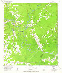
Editions of this 1953 French Settlement Map
2 editions found
Other maps of this area

1892 · Mount Airy
USGS Topo · 1:62,500

1892 · Donaldsonville
USGS Topo · 1:62,500

1934 · Denham Springs
USGS Topo · 1:62,500

1934 · Springfield
USGS Topo · 1:62,500

1935 · Gonzales
USGS Topo · 1:31,680

1939 · Springfield
USGS Topo · 1:62,500

1939 · Denham Springs
USGS Topo · 1:62,500

1939 · Donaldsonville
USGS Topo · 1:62,500

1946 · Petite Amite River
USGS Topo · 1:31,680

1947 · Sorrento
USGS Topo · 1:31,680