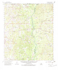
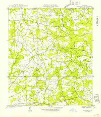
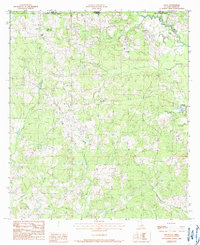
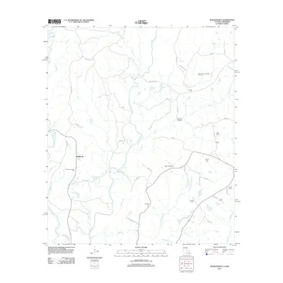
1958 Map of Felixville
USGS Topo · Published 1983About this map
The Amite River serves as the dividing line between East Feliciana Parish and St Helena Parish, winding through a landscape shaped by rural industry and community faith. This mid-century survey reveals a network of small settlements and post offices, such as Felixville (PO) and Darlington, connected by local roads and family-named features. The density of small-scale educational and spiritual hubs is striking, from the Sunflower Sch and Eighth Ward Sch to Matthews Chapel and Wesley Chapel, reflecting the localized nature of social life in the 1950s.
Find a feature on this map
103 named features on this map. Tap any name to fly to it.
Don’t see what you’re looking for? This feature index may not catch every label — zoom into the map to look around manually.
Map Details
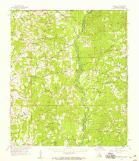
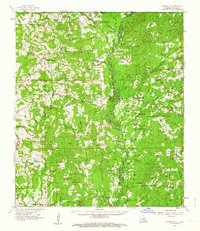
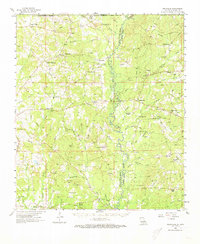
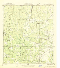
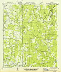
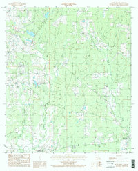
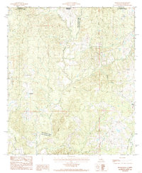
Editions of this 1958 Felixville Map
4 editions found
Historical Maps of Teddy Through Time
23 maps found

1941 Lost Creek
East Feliciana Parish, LA
1941 Woodland
East Feliciana Parish, LA
1945 Lost Creek
East Feliciana Parish, LA
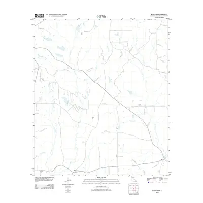
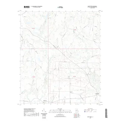
1949 Bluff Creek
East Feliciana Parish, LA
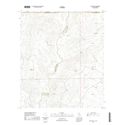
1958 Felixville
East Feliciana Parish, LA
1984 Bluff Creek
East Feliciana Parish, LA
1984 Felps
East Feliciana Parish, LA
1984 Rogillioville
East Feliciana Parish, LA
2012 Bluff Creek
East Feliciana Parish, LA
2012 Felps
East Feliciana Parish, LA
2012 Rogillioville
East Feliciana Parish, LA
2015 Bluff Creek
East Feliciana Parish, LA

2015 Felps
East Feliciana Parish, LA
2015 Rogillioville
East Feliciana Parish, LA
2018 Bluff Creek
East Feliciana Parish, LA

2018 Felps
East Feliciana Parish, LA
2018 Rogillioville
East Feliciana Parish, LA
2020 Bluff Creek
East Feliciana Parish, LA

2020 Felps
East Feliciana Parish, LA
2020 Rogillioville
East Feliciana Parish, LA
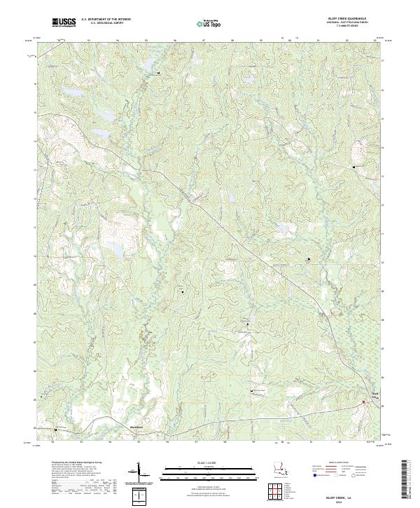
2024 Bluff Creek
East Feliciana Parish, LA
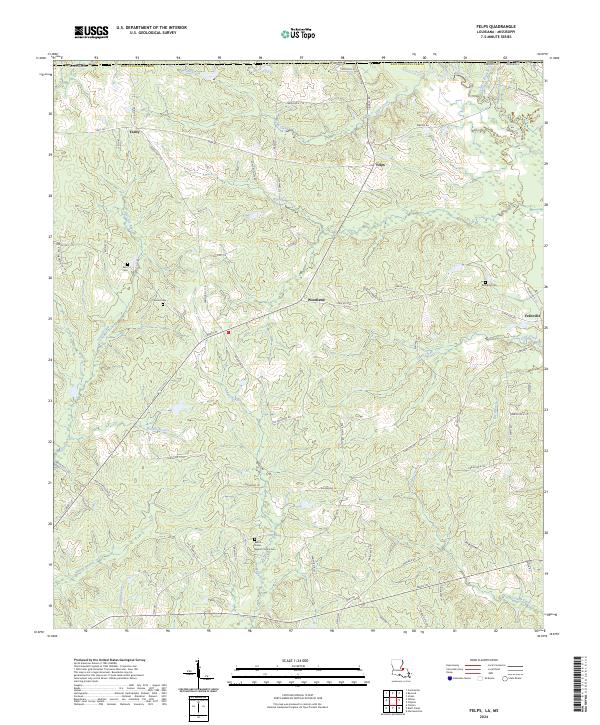
2024 Felps
East Feliciana Parish, LA
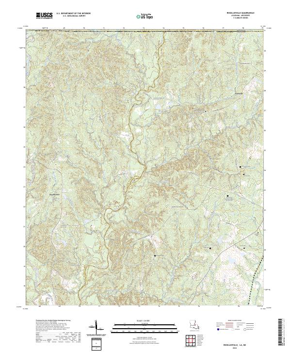
2024 Rogillioville
East Feliciana Parish, LA