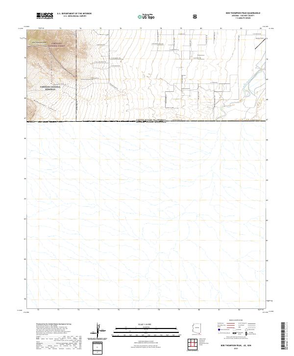
2021 Map of Bob Thompson Peak
USGS Topo · Published 2021About this map
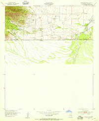
Bob Thompson Peak and the high ridges of the Huachuca Mountains dominate the northwestern corner of this borderlands survey, where the peaks descend into the deep drainage of Montezuma Canyon. This area is preserved as part of the Coronado National Memorial and the Coronado National Forest, marking a landscape of significant elevation changes and rugged natural boundaries. To the east, the terrain transitions into a grid of rural ranch roads, including S Brown Ranch Rd and S Paint Ranch Rd, which serve the small properties and airstrips like Evelyn Field near the San Pedro River. The southern edge of the map is defined by the International Rd, tracing the straight-line border between the United States and Mexico. This boundary is marked by local features like S Border Monument Rd, reflecting the intersection of conservation lands and international law enforcement in Cochise County.
Find a feature on this map
35 named features on this map. Tap any name to fly to it.
Don’t see what you’re looking for? This feature index may not catch every label — zoom into the map to look around manually.
Map Details
Editions of this 2021 Bob Thompson Peak Map
This is the sole edition of this map. No revisions or reprints were ever made.
Other maps of this area

1914 · Hereford
USGS Topo · 1:125,000

1922 · Sunnyside
USGS Topo · 1:62,500

1932 · Stark
USGS Topo · 1:62,500

1938 · Sunnyside
USGS Topo · 1:62,500

1948 · Miller Peak
USGS Topo · 1:24,000

1948 · Sunnyside SE
USGS Topo · 1:24,000
1948 · Sunnyside
USGS Topo · 1:62,500
1952 · Hereford
USGS Topo · 1:24,000
1952 · Nicksville
USGS Topo · 1:24,000
1952 · Hereford SW
USGS Topo · 1:24,000