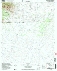
2004 Map of Bob Thompson Peak
USGS Topo · Published 2007About this map
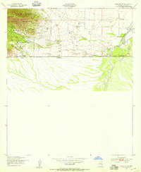
Bob Thompson Peak and the high ridges of the Huachuca Mountains dominate the northwestern corner of this landscape, which straddles the international boundary between the United States and Mexico. In the American portion, the Coronado National Memorial and Coronado National Forest preserve the high terrain above Montezuma Canyon. To the east, the land descends toward the San Pedro River valley, where agricultural activity is marked by Smith Ranch, Brown Ranch, and a small Landing Strip. South of the border in Sonora, a dense network of seasonal drainages including Arroyo El Coyote and Arroyo El Pedregón carve through the basin, leading toward the settlement at Los Corrales. This map captures a borderland defined by high-elevation conservation and the sparse, water-dependent ranching operations of the high desert.
Find a feature on this map
32 named features on this map. Tap any name to fly to it.
Don’t see what you’re looking for? This feature index may not catch every label — zoom into the map to look around manually.
Map Details
Editions of this 2004 Bob Thompson Peak Map
This is the sole edition of this map. No revisions or reprints were ever made.
Other maps of this area

1914 · Hereford
USGS Topo · 1:125,000

1922 · Sunnyside
USGS Topo · 1:62,500

1932 · Stark
USGS Topo · 1:62,500

1938 · Sunnyside
USGS Topo · 1:62,500

1948 · Miller Peak
USGS Topo · 1:24,000

1948 · Sunnyside SE
USGS Topo · 1:24,000
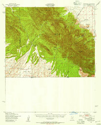
1948 · Sunnyside
USGS Topo · 1:62,500
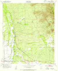
1952 · Hereford
USGS Topo · 1:24,000
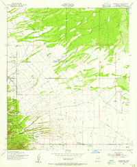
1952 · Nicksville
USGS Topo · 1:24,000
1952 · Hereford SW
USGS Topo · 1:24,000