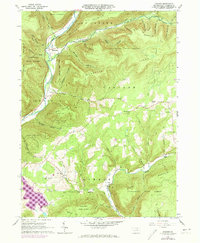
1965 Map of Bodines
USGS Topo · Published 1974About this map
Lycoming Creek carves a deep valley through the high ridges of north-central Pennsylvania, serving as the primary corridor for the Penn Central railroad and settlements like Marsh Hill and Bodines. This mid-1960s landscape is defined by the heavy timber of the Tiadaghton State Forest and the rugged topography of McIntyre Mountain and Burnetts Ridge. Evidence of the region’s earlier logging and industrial history is visible in the Old Grade Railroad corridor following Pleasant Stream. In the southern reaches, more established community life is centered around Calvert, where the Beech Valley School and Beech Valley Cemetery represent the local genealogy of rural Lycoming County. Smaller enclaves like Kellyburg and the Church of the Assumption remain connected by winding valley roads and forest trails that navigate the steep hollows feeding into Wallis Run.
Find a feature on this map
52 named features on this map. Tap any name to fly to it.
Don’t see what you’re looking for? This feature index may not catch every label — zoom into the map to look around manually.
Map Details
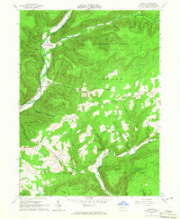
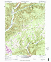
Editions of this 1965 Bodines Map
3 editions found
Other maps of this area

1921 · Trout Run
USGS Topo · 1:62,500

1923 · Trout Run
USGS Topo · 1:62,500

1925 · Blossburg
USGS Topo · 1:62,500

1927 · Blossburg
USGS Topo · 1:62,500

1930 · Warrensville
USGS Topo · 1:62,500

1934 · Warrensville
USGS Topo · 1:62,500

1942 · Canton
USGS Topo · 1:62,500

1944 · Blossburg
USGS Topo · 1:62,500

1944 · Trout Run
USGS Topo · 1:62,500

1944 · Canton
USGS Topo · 1:62,500
Featured Places
- Marsh Hill, McIntyre Township
- Lewis Township, PA
- Calvert, Gamble Township
- Kellyburg, Cascade Township
- Bodines, Lewis Township