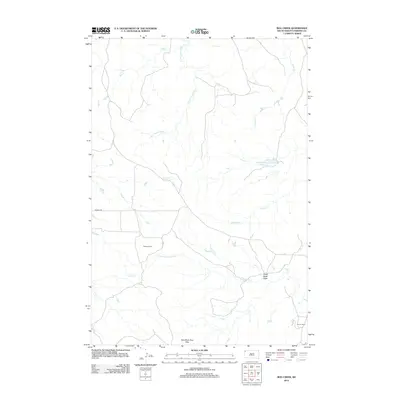
2012 Map of Bog Creek
USGS Topo · Published 2012About this map
S Fork Grand River and the N Fork Moreau River define the hydraulic character of this high plains region in Harding County. The drainage network is dense, with Bog Cr, Faulkner Cr, and Buffalo Cr carving across the landscape. Human activity is primarily represented by long-standing ranching operations, such as Mackey Ranch and Ruona Ranch, which rely on water features like Gilbert Number Two Reservoir in this arid environment. The southern portion of the area is anchored by the northern reaches of the East Short Pine Hills, a significant topographic break from the surrounding draws and creeks. This map provides a clear record of land use and water management in the rural Dakotas during the early 21st century, centered on the gravel corridor of Mackey Rd.
Find a feature on this map
12 named features on this map. Tap any name to fly to it.
Don’t see what you’re looking for? This feature index may not catch every label — zoom into the map to look around manually.
Map Details
Editions of this 2012 Bog Creek Map
This is the sole edition of this map. No revisions or reprints were ever made.
Other maps of this area

1935 · Harding
USGS Topo · 1:125,000

1935 · Buffalo
USGS Topo · 1:125,000

1954 · Lemmon
USGS Topo · 1:250,000

1957 · Lemmon
USGS Topo · 1:250,000

1971 · Buffalo
USGS Topo · 1:24,000

1971 · Saddle Butte
USGS Topo · 1:24,000

1973 · Bog Creek
USGS Topo · 1:24,000

1973 · Redig
USGS Topo · 1:24,000

1973 · Hells Canyon
USGS Topo · 1:24,000

1974 · Pine Spring
USGS Topo · 1:24,000