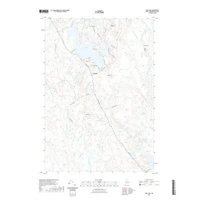
2021 Map of Bog Lake
USGS Topo · Published 2021About this map
Northfield serves as the central hub of this Washington County landscape, where the waters of the Machias River and East Machias River define the terrain. The eastern portion of the quadrangle is marked by a sequence of river features such as Wigwam Riffles, Crooked Pitch, and Smith Mill Pitch, indicating the historical importance of these waterways for transport and early industry. To the west, the river drops through Getchell Riffles and the significant Great Falls, surrounded by local landmarks like Sumac Hill and Bobbled Rips.
Find a feature on this map
56 named features on this map. Tap any name to fly to it.
Don’t see what you’re looking for? This feature index may not catch every label — zoom into the map to look around manually.
Map Details
Editions of this 2021 Bog Lake Map
This is the sole edition of this map. No revisions or reprints were ever made.
Other maps of this area
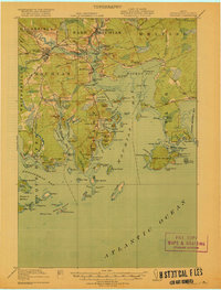
1918 · Machias
USGS Topo · 1:62,500
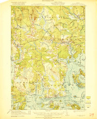
1921 · Columbia Falls
USGS Topo · 1:62,500
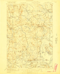
1921 · Columbia Falls
USGS Topo · 1:62,500
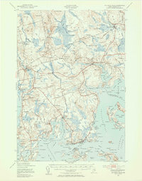
1941 · Columbia Falls
USGS Topo · 1:62,500
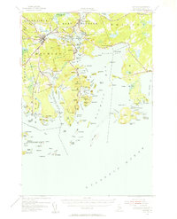
1941 · Machias
USGS Topo · 1:62,500
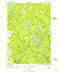
1941 · Wesley
USGS Topo · 1:62,500
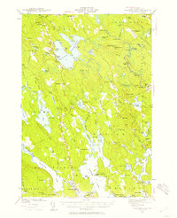
1941 · Gardner Lake
USGS Topo · 1:62,500
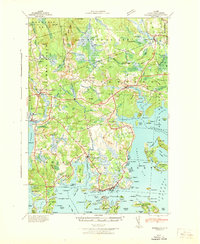
1942 · Columbia Falls
USGS Topo · 1:62,500
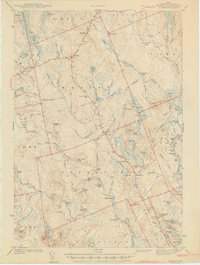
1943 · Wesley
USGS Topo · 1:62,500
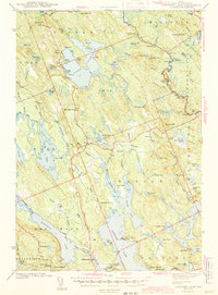
1943 · Gardner Lake
USGS Topo · 1:62,500