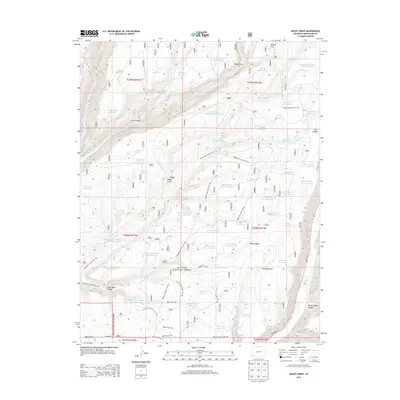
2013 Map of Boggy Draw
USGS Topo · Published 2013About this map
San Juan National Forest covers the majority of this landscape in Montezuma County, where a complex network of canyons and upland water management defines the local geography. The area around Boggy Draw is marked by numerous small-scale water projects, including the Phoneline Reservoir, Sawmill Reservoir, and Divide Reservoir, which speak to the region's historical reliance on managed water resources for livestock and forestry. Evidence of local industry is preserved with the labeling of Rusts Sawmill, situated south of Bean Canyon.
Find a feature on this map
78 named features on this map. Tap any name to fly to it.
Don’t see what you’re looking for? This feature index may not catch every label — zoom into the map to look around manually.
Map Details
Editions of this 2013 Boggy Draw Map
This is the sole edition of this map. No revisions or reprints were ever made.
Other maps of this area

1956 · Cortez
USGS Topo · 1:250,000

1958 · Cortez
USGS Topo · 1:250,000

1959 · Cortez
USGS Topo · 1:250,000

1962 · Cortez
USGS Topo · 1:250,000

1963 · Stoner
USGS Topo · 1:24,000
1963 · Nipple Mountain
USGS Topo · 1:24,000

1965 · Willow Spring
USGS Topo · 1:24,000

1965 · Dolores East
USGS Topo · 1:24,000

1965 · Dolores West
USGS Topo · 1:24,000
1965 · Millwood
USGS Topo · 1:24,000