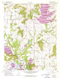
1957 Map of Boicourt
USGS Topo · Published 1976About this map
The Marais Des Cygnes River valley anchors this mid-century view of Linn County, Kansas, where the river's path is closely followed by the St Louis San Francisco railroad. The settlement of Boicourt sits at a critical junction near the river, surrounded by the extensive Marais Des Cygnes Waterfowl Area and the namesake Boicourt Lake. Revisions from the early 1970s illustrate the massive expansion of La Cygnes Lake and its associated Powerplant in the northeastern quadrant, a stark industrial transformation of the rural landscape.
Find a feature on this map
24 named features on this map. Tap any name to fly to it.
Don’t see what you’re looking for? This feature index may not catch every label — zoom into the map to look around manually.
Map Details
Editions of this 1957 Boicourt Map
2 editions found
Other maps of this area

1887 · Mound City
USGS Topo · 1:125,000

1893 · Mound City
USGS Topo · 1:125,000

1938 · Worland
USGS Topo · 1:24,000

1940 · Worland
USGS Topo · 1:24,000

1947 · Lawrence
USGS Topo · 1:250,000

1950 · Lawrence
USGS Topo · 1:250,000

1956 · Lawrence
USGS Topo · 1:250,000
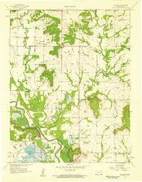
1957 · Boicourt
USGS Topo · 1:24,000
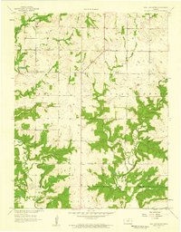
1957 · New Lancaster
USGS Topo · 1:24,000

1958 · La Cygne
USGS Topo · 1:24,000