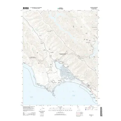
2015 Map of Bolinas
USGS Topo · Published 2015About this map
The San Andreas Fault cuts a visible path through this coastal landscape, separating the high ridges of the Golden Gate National Recreation Area from the protected lands of Point Reyes National Seashore. Along the edge of Bolinas Bay, the town of Bolinas and the residential streets of Bolinas Mesa overlook Duxbury Reef, while the coastal community of Stinson Beach borders the long stretch of Seadrift Rd. To the north, the terrain rises toward Pine Mtn and the waters of Kent Lake and Alpine Lake. Historical traces of human industry and movement appear in the names of Copper Mine Gulch and the Pine Mountain Tunnel. The intersection of natural landmarks like Cataract Falls and Kent Island highlights the unique maritime and mountain geography of this Marin County coast.
Find a feature on this map
88 named features on this map. Tap any name to fly to it.
Don’t see what you’re looking for? This feature index may not catch every label — zoom into the map to look around manually.
Map Details
Editions of this 2015 Bolinas Map
This is the sole edition of this map. No revisions or reprints were ever made.
Other maps of this area

1897 · Tamalpais
USGS Topo · 1:62,500

1914 · Petaluma
USGS Topo · 1:62,500

1916 · Point Reyes
USGS Topo · 1:48,000

1918 · Point Reyes
USGS Topo · 1:62,500

1941 · Tamalpais
USGS Topo · 1:62,500

1942 · Petaluma
USGS Topo · 1:62,500

1947 · Santa Rosa
USGS Topo · 1:250,000

1947 · San Francisco
USGS Topo · 1:250,000

1948 · San Francisco
USGS Topo · 1:250,000

1949 · Santa Rosa
USGS Topo · 1:250,000