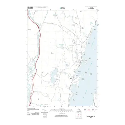
2010 Map of Bolton Landing
USGS Topo · Published 2010About this map
Lake George dominates the eastern half of this landscape, its shoreline deeply recessed by Huddle Bay and Northwest Bay. The principal settlement of Bolton Landing serves as a lakeside hub, while the interior is marked by significant elevations like Cat Mountain and Federal Hill. To the west, the Schroon River meanders through a narrow valley, flanked by the settlement of Riverbank and Bull Rock Mountain. The map reveals a distribution of family-named landmarks and rural burial grounds including New Vermont Cemetery and Lamb Hill Cemetery. The complex geography of the lake is detailed through numerous islands such as Green Island, Sweetbriar Island, and Dome Island, reflecting a topography where steep ridges fall directly into the water's edge, creating sheltered coves like Basin Bay.
Find a feature on this map
75 named features on this map. Tap any name to fly to it.
Don’t see what you’re looking for? This feature index may not catch every label — zoom into the map to look around manually.
Map Details
Editions of this 2010 Bolton Landing Map
This is the sole edition of this map. No revisions or reprints were ever made.
Other maps of this area

1895 · North Creek
USGS Topo · 1:62,500

1895 · Glens Falls
USGS Topo · 1:62,500

1897 · Bolton
USGS Topo · 1:62,500

1897 · Glens Falls
USGS Topo · 1:62,500

1897 · North Creek
USGS Topo · 1:62,500

1900 · Bolton
USGS Topo · 1:62,500

1903 · Luzerne
USGS Topo · 1:62,500

1938 · Glens Falls
USGS Topo · 1:62,500

1947 · Glens Falls
USGS Topo · 1:62,500

1950 · Glens Falls
USGS Topo · 1:250,000