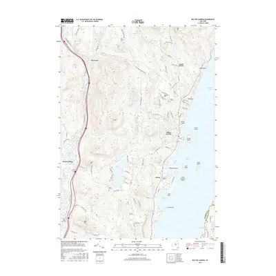
2016 Map of Bolton Landing
USGS Topo · Published 2016About this map
Bolton Landing and the western shores of Lake George define this 2016 survey, where the Adirondack landscape meets the water's edge. The settlement patterns reflect a blend of lakeside development and upland agricultural history, anchored by clusters of family-named landmarks and multiple burial grounds including the Federal Hill Cem and Herrick Cem. Along the western boundary, the Schroon River winds past Riverbank, paralleled by a major transport corridor that contrasts with the smaller mountain roads like Sawmill Rd and Padanarum Rd. The map details several significant islands within the bay, such as Green Island and Dome Island, alongside inland water bodies like Trout Lake and Edgecomb Pond. Genealogists may find particular value in the distribution of cemeteries across the townships, such as Beswick Cem and New Vermont Cem, which mark early local communities.
Find a feature on this map
96 named features on this map. Tap any name to fly to it.
Don’t see what you’re looking for? This feature index may not catch every label — zoom into the map to look around manually.
Map Details
Editions of this 2016 Bolton Landing Map
This is the sole edition of this map. No revisions or reprints were ever made.
Other maps of this area

1895 · North Creek
USGS Topo · 1:62,500

1895 · Glens Falls
USGS Topo · 1:62,500

1897 · Bolton
USGS Topo · 1:62,500

1897 · Glens Falls
USGS Topo · 1:62,500

1897 · North Creek
USGS Topo · 1:62,500

1900 · Bolton
USGS Topo · 1:62,500

1903 · Luzerne
USGS Topo · 1:62,500

1938 · Glens Falls
USGS Topo · 1:62,500

1947 · Glens Falls
USGS Topo · 1:62,500

1950 · Glens Falls
USGS Topo · 1:250,000