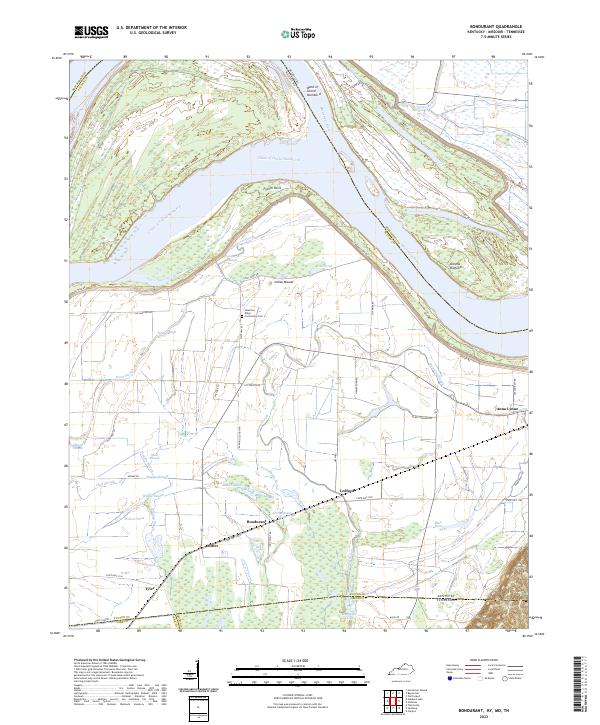
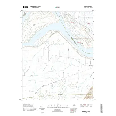
2022 Map of Bondurant
USGS Topo · Published 2022About this map
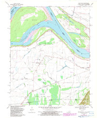
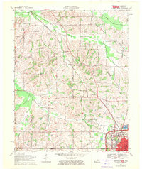
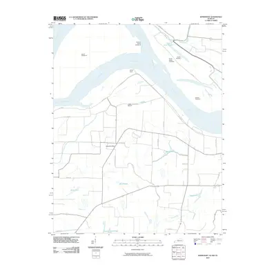
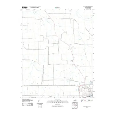
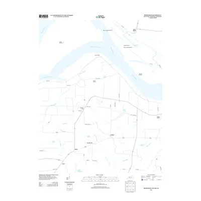
The Mississippi River carves a massive horseshoe bend through this riverfront landscape, creating the distinct Bend of Island Number 8 and the narrow Chute of Island Number 8. The terrain is defined by its relationship to the water, featuring a dense network of drainage and wetlands including Mud Slough, Hogpen Slough, and Rittenhouse Slough. Human settlement is concentrated in small clusters such as Bondurant, Miller, and Tyler, which are connected by a grid of rural roads like Sutton Rd and Cotton Gin Rd that follow the natural contours of the bottomlands.
Find a feature on this map
56 named features on this map. Tap any name to fly to it.
Don’t see what you’re looking for? This feature index may not catch every label — zoom into the map to look around manually.
Map Details
Editions of this 2022 Bondurant Map
This is the sole edition of this map. No revisions or reprints were ever made.
Historical Maps of Tyler Through Time
15 maps found
1951 Bondurant
Fulton County, KY
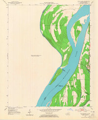
1951 Wolf Island
Fulton County, KY
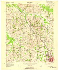
1952 Crutchfield
Fulton County, KY
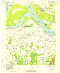
1969 Bondurant
Fulton County, KY
1969 Crutchfield
Fulton County, KY
2010 Bondurant
Fulton County, KY
2010 Crutchfield
Fulton County, KY
2013 Bondurant
Fulton County, KY
2013 Crutchfield
Fulton County, KY
2016 Bondurant
Fulton County, KY
2016 Crutchfield
Fulton County, KY
2019 Bondurant
Fulton County, KY
2019 Crutchfield
Fulton County, KY
2022 Bondurant
Fulton County, KY
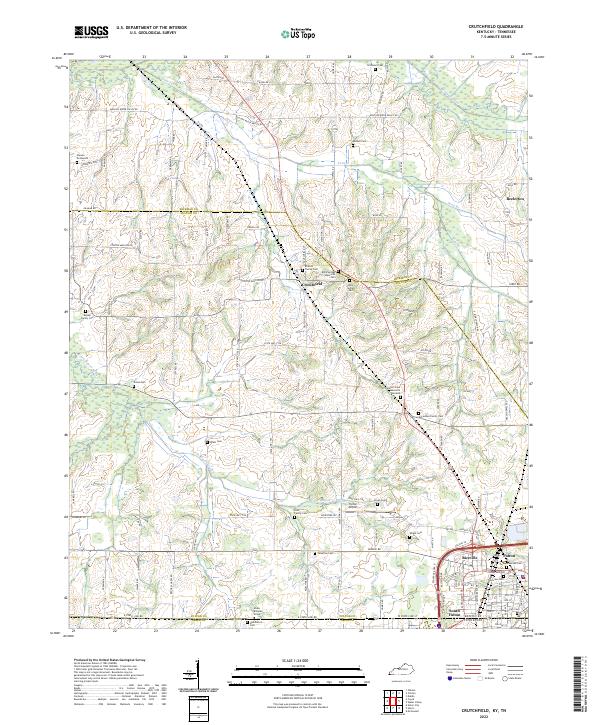
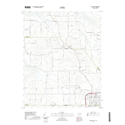
2022 Crutchfield
Fulton County, KY