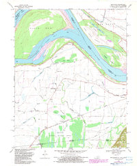
1969 Map of Bondurant
USGS Topo · Published 1983About this map
Bondurant and Sassafras Ridge occupy a landscape defined by the shifting hydraulics of the Mississippi River as it winds through the tri-state border region. The 1969 field-checked data, updated with 1982 hydrographic revisions, reveals a complex network of wetlands and backwaters including the Chute of Island No 8, Fish Pond Slough, and Running Slough. This fluvial environment is anchored by the southern reach of the Reelfoot National Wildlife Refuge, which spans the Kentucky Tennessee line. Local landmarks such as the Indian Mound near Corner Stone Ch hint at ancient land use, while small rural centers like Tyler and Miller are connected by a grid of light-duty roads and the Gulf Central Illinois rail line. The map captures a moment when the James Bayou Floodway and various levees worked to manage the river's influence on these agricultural lowlands.
Find a feature on this map
44 named features on this map. Tap any name to fly to it.
Don’t see what you’re looking for? This feature index may not catch every label — zoom into the map to look around manually.
Map Details
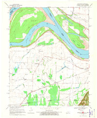
Editions of this 1969 Bondurant Map
2 editions found
Other maps of this area

1925 · Reelfoot Lake
USGS Topo · 1:62,500

1939 · Reelfoot Lake
USGS Topo · 1:62,500

1939 · Hickman
USGS Topo · 1:62,500

1939 · Bayouville
USGS Topo · 1:62,500

1951 · Bondurant
USGS Topo · 1:24,000

1951 · Hickman
USGS Topo · 1:24,000

1951 · Wolf Island
USGS Topo · 1:24,000

1951 · Hubbard Lake
USGS Topo · 1:24,000

1954 · Hickman
USGS Topo · 1:62,500
1955 · Hickman
USGS Topo · 1:62,500