1951 Map of Wolf Island
USGS Topo · Published 1965About this map
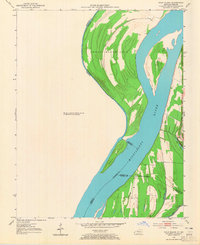
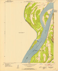
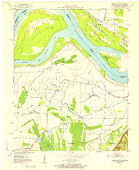
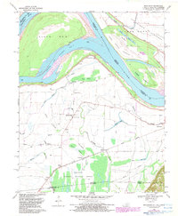
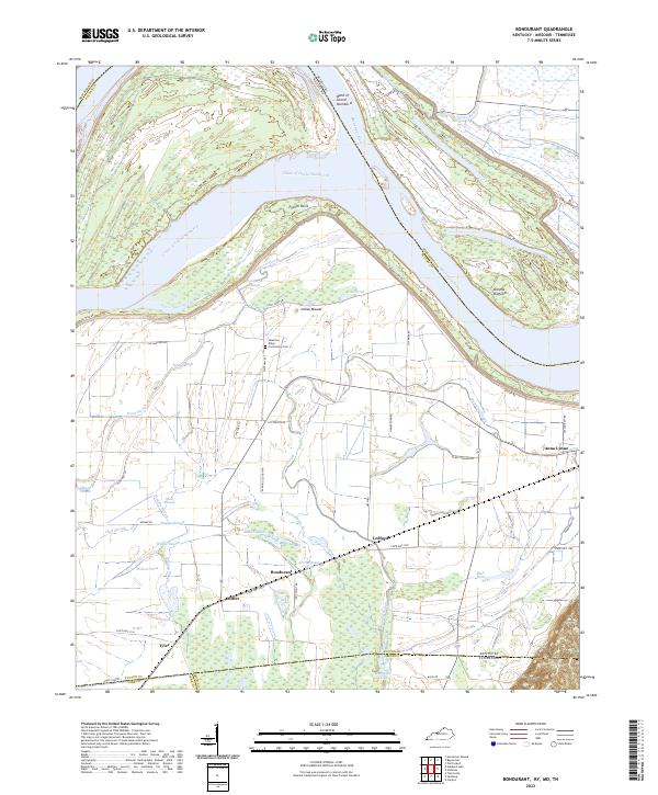
The Mississippi River creates a dynamic landscape of shifting silt and riverine boundaries along the border of Kentucky and Missouri. This 1951 survey focuses on the massive Wolf Island No 5, a landmass defined by its complex topography and its relationship to the main channel. The presence of an Indefinite Boundary in several locations underscores the volatile nature of the river's path, where bars like Middle Bar and Medley Bar constantly evolve. Along the eastern banks, distinct topographic rises such as Chalk Bluff and Three Ponds Bluff provide stable overlooks above the floodplain. The area is marked by numerous secondary water bodies, including Long Pond and Three Ponds, as well as the mouth of Obion Creek where it meets the Mississippi. These features document the intricate hydraulic environment of Fulton County before further modern channelization altered the character of these river islands.
Find a feature on this map
16 named features on this map. Tap any name to fly to it.
Don’t see what you’re looking for? This feature index may not catch every label — zoom into the map to look around manually.
Map Details
Editions of this 1951 Wolf Island Map
2 editions found
Historical Maps of Wolf Island Through Time
15 maps found
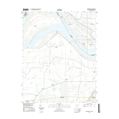
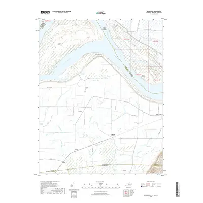
1951 Bondurant
Fulton County, KY
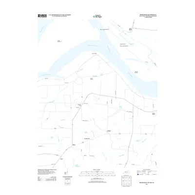
1951 Wolf Island
Fulton County, KY
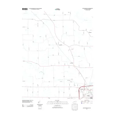
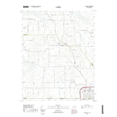
1952 Crutchfield
Fulton County, KY
1969 Bondurant
Fulton County, KY
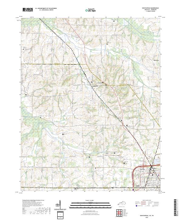
1969 Crutchfield
Fulton County, KY
2010 Bondurant
Fulton County, KY
2010 Crutchfield
Fulton County, KY
2013 Bondurant
Fulton County, KY
2013 Crutchfield
Fulton County, KY
2016 Bondurant
Fulton County, KY
2016 Crutchfield
Fulton County, KY
2019 Bondurant
Fulton County, KY
2019 Crutchfield
Fulton County, KY
2022 Bondurant
Fulton County, KY
2022 Crutchfield
Fulton County, KY