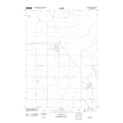
2012 Map of Bonesteel
USGS Topo · Published 2012About this map
Gregory County's agricultural tablelands and deeply incised creek beds define this landscape near the Nebraska border. The town of Bonesteel serves as a central hub, where Co Hwy-44 and Co Hwy-14 converge amidst a grid of township roads. The map reveals a high concentration of rural burial grounds, including Rosebud Cem, Saint Marys Cem, and Highland Cem, which often represent the early centers of community life in this part of South Dakota.
Find a feature on this map
44 named features on this map. Tap any name to fly to it.
Don’t see what you’re looking for? This feature index may not catch every label — zoom into the map to look around manually.
Map Details
Editions of this 2012 Bonesteel Map
This is the sole edition of this map. No revisions or reprints were ever made.
Other maps of this area

1951 · Butte NW
USGS Topo · 1:24,000

1951 · Naper
USGS Topo · 1:24,000

1955 · Mitchell
USGS Topo · 1:250,000

1955 · O'Neill
USGS Topo · 1:250,000

1959 · O'Neill
USGS Topo · 1:250,000

1959 · Mitchell
USGS Topo · 1:250,000

1964 · Campbell Creek
USGS Topo · 1:24,000

1964 · Butte
USGS Topo · 1:24,000

1964 · Herrick NE
USGS Topo · 1:24,000

1964 · St. Charles
USGS Topo · 1:24,000