
1964 Map of Campbell Creek
USGS Topo · Published 1965About this map
Lake Francis Case dominates this mid-1960s landscape, representing a significant transformation of the Missouri River valley in South Dakota. This survey, conducted as part of the Department of the Interior's Missouri River Basin development program, documents the area shortly after the filling of the reservoir created by the Fort Randall Dam. Along the winding shoreline and deep inlets like Odenbach Bay, the map identifies developed public lands including the North Wheeler Recreation Area and South Wheeler Recreation Area. Inland, the terrain is marked by distinctive high points such as Signal and Whetstone, and the plateau of Star Valley to the southeast. A historical layer is visible in the prominent Fort Randall Military Reservation Boundary, which cuts diagonally across the drainages of Campbell Creek and Benge Creek, marking the legacy of the frontier-era military presence in Charles Mix and Gregory counties.
Find a feature on this map
14 named features on this map. Tap any name to fly to it.
Don’t see what you’re looking for? This feature index may not catch every label — zoom into the map to look around manually.
Map Details
Editions of this 1964 Campbell Creek Map
This is the sole edition of this map. No revisions or reprints were ever made.
Other maps of this area

1955 · Mitchell
USGS Topo · 1:250,000

1959 · Mitchell
USGS Topo · 1:250,000

1964 · Whetstone Bay
USGS Topo · 1:24,000

1964 · Lake Andes NW
USGS Topo · 1:24,000

1964 · Lake Andes SW
USGS Topo · 1:24,000
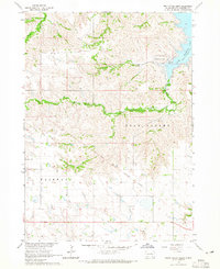
1964 · South Scalp Creek
USGS Topo · 1:24,000
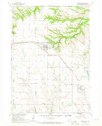
1964 · Bonesteel
USGS Topo · 1:24,000

1977 · Lake Andes NW
USGS Topo · 1:24,000
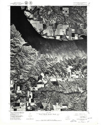
1977 · Lake Andes SW
USGS Topo · 1:24,000

1979 · Castalia
USGS Topo · 1:24,000