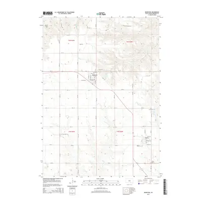
2015 Map of Bonesteel
USGS Topo · Published 2015About this map
Bonesteel and Fairfax anchor this section of Gregory County, situated along a network of section-line roads and local thoroughfares like SD-1806 and SD-50. The landscape is defined by the drainage of N Scalp Cr and S Scalp Cr, which cut through the agricultural plateaus typical of this region. A notable concentration of community landmarks appears throughout the townships, including several rural burial grounds such as Rosebud Cem, Saint Marys Cem, and Highland Cem, which reflect the area's genealogical history. Distinctive geographical markers like Devils Grave Hill in the northwest and Houston Springs offer a glimpse into the local topography that shaped early settlement patterns. Near the town of Fairfax, the presence of Fairfax Lake and the Trinity Lutheran Cem further illustrate the intersection of community life and the natural prairie environment.
Find a feature on this map
59 named features on this map. Tap any name to fly to it.
Don’t see what you’re looking for? This feature index may not catch every label — zoom into the map to look around manually.
Map Details
Editions of this 2015 Bonesteel Map
This is the sole edition of this map. No revisions or reprints were ever made.
Other maps of this area

1951 · Butte NW
USGS Topo · 1:24,000

1951 · Naper
USGS Topo · 1:24,000

1955 · Mitchell
USGS Topo · 1:250,000

1955 · O'Neill
USGS Topo · 1:250,000

1959 · O'Neill
USGS Topo · 1:250,000

1959 · Mitchell
USGS Topo · 1:250,000

1964 · Campbell Creek
USGS Topo · 1:24,000

1964 · Butte
USGS Topo · 1:24,000

1964 · Herrick NE
USGS Topo · 1:24,000

1964 · St. Charles
USGS Topo · 1:24,000