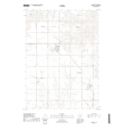
2017 Map of Bonesteel
USGS Topo · Published 2017About this map
Bonesteel and Fairfax anchor this section of Gregory County, where the plains are etched by the winding drainages of N Scalp Cr and S Scalp Cr. The landscape is a testament to rural settlement patterns, with a high density of country burial grounds like Pleasant Valley Cem and Rosebud Cem marking the locations of early community focal points. Aviation history is noted at Selle Airport west of Bonesteel, while the local hydrology is defined by features such as Houston Springs and Fairfax Lake. In the northern reaches, the prominent rise of Devils Grave Hill stands over Truesdell Cr, providing a distinct landmark against the rolling prairie. This modern survey details the intricate network of township and county roads that continue to connect these agricultural hubs along the southern South Dakota border.
Find a feature on this map
64 named features on this map. Tap any name to fly to it.
Don’t see what you’re looking for? This feature index may not catch every label — zoom into the map to look around manually.
Map Details
Editions of this 2017 Bonesteel Map
This is the sole edition of this map. No revisions or reprints were ever made.
Other maps of this area

1951 · Butte NW
USGS Topo · 1:24,000

1951 · Naper
USGS Topo · 1:24,000

1955 · Mitchell
USGS Topo · 1:250,000

1955 · O'Neill
USGS Topo · 1:250,000

1959 · O'Neill
USGS Topo · 1:250,000

1959 · Mitchell
USGS Topo · 1:250,000

1964 · Campbell Creek
USGS Topo · 1:24,000

1964 · Butte
USGS Topo · 1:24,000

1964 · Herrick NE
USGS Topo · 1:24,000

1964 · St. Charles
USGS Topo · 1:24,000