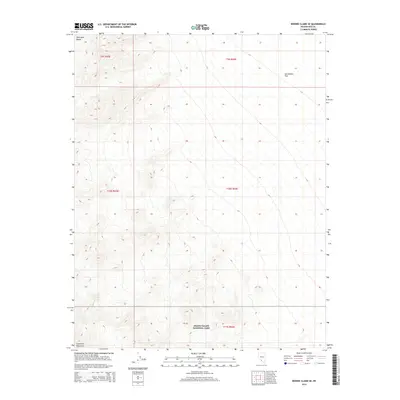
2014 Map of Bonnie Claire SE
USGS Topo · Published 2014About this map
Death Valley National Park encompasses the southern portion of this desert landscape, where the high ridges of the Grapevine Mountains and the Amargosa Range meet the valley floor. This 2014 survey captures a sparsely populated section of Nye County, dominated by the stark transition from high peaks to the broad expanse of Sarcobatus Flat in the northeast. The presence of Willow Spring in the southwestern corner highlights the critical and rare water sources that historically dictated movement through these arid ranges. The map provides a precise look at the township and range divisions, including t11s r44e, illustrating how public land surveys organized this remote territory long before its inclusion in the national park system.
Find a feature on this map
11 named features on this map. Tap any name to fly to it.
Don’t see what you’re looking for? This feature index may not catch every label — zoom into the map to look around manually.
Map Details
Editions of this 2014 Bonnie Claire SE Map
This is the sole edition of this map. No revisions or reprints were ever made.
Other maps of this area

1908 · Kawich
USGS Topo · 1:250,000

1908 · Lida
USGS Topo · 1:250,000

1908 · Furnace Creek
USGS Topo · 1:250,000

1908 · Ballarat
USGS Topo · 1:250,000

1910 · Furnace Creek
USGS Topo · 1:250,000

1913 · Lida
USGS Topo · 1:250,000

1913 · Ballarat
USGS Topo · 1:250,000

1942 · Tolicha Peak
USGS Topo · 1:125,000

1942 · Bullfrog
USGS Topo · 1:125,000

1948 · Death Valley
USGS Topo · 1:250,000