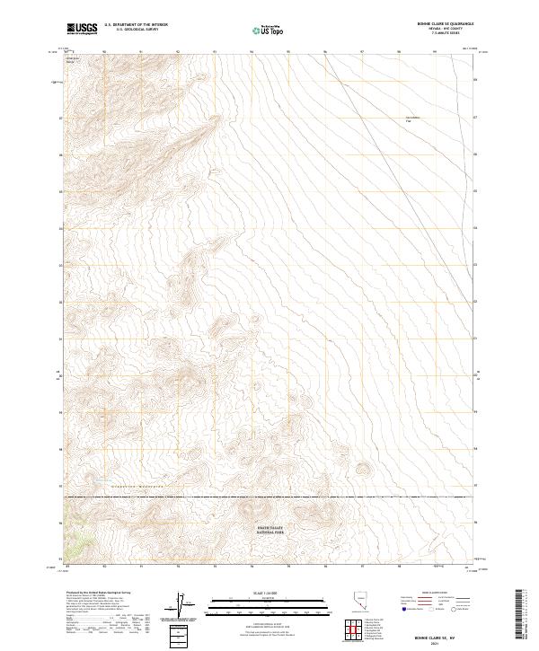
2021 Map of Bonnie Claire SE
USGS Topo · Published 2021About this map
Death Valley National Park occupies the southern reaches of this landscape, where the high elevations of the Grapevine Mountains and the Amargosa Range converge. This arid terrain is defined by dramatic shifts in topography, as the sharp contours of the mountain ranges descend into the broad, open expanse of Sarcobatus Flat to the northeast. While the map is dominated by these natural landforms, a critical water source is identified at Willow Spring, tucked into the western slopes. The lack of built infrastructure or settlements highlights the isolation of this corner of Nye County, preserving a view of the desert as it appeared in the early 21st century, largely untouched by modern development.
Find a feature on this map
11 named features on this map. Tap any name to fly to it.
Don’t see what you’re looking for? This feature index may not catch every label — zoom into the map to look around manually.
Map Details
Editions of this 2021 Bonnie Claire SE Map
This is the sole edition of this map. No revisions or reprints were ever made.
Other maps of this area

1908 · Kawich
USGS Topo · 1:250,000

1908 · Lida
USGS Topo · 1:250,000

1908 · Furnace Creek
USGS Topo · 1:250,000

1908 · Ballarat
USGS Topo · 1:250,000

1910 · Furnace Creek
USGS Topo · 1:250,000

1913 · Lida
USGS Topo · 1:250,000

1913 · Ballarat
USGS Topo · 1:250,000

1942 · Tolicha Peak
USGS Topo · 1:125,000

1942 · Bullfrog
USGS Topo · 1:125,000

1948 · Death Valley
USGS Topo · 1:250,000