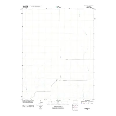
2010 Map of Boone Hill
USGS Topo · Published 2010About this map
Boone Hill stands as the central landmark of this Pueblo County landscape, overlooking a series of drainage patterns and ranch roads recorded in the early 21st century. The terrain is defined by the ephemeral flows of Kramer Creek and Haynes Creek, which create a network of washes across the prairie. This 2010 survey illustrates a quiet rural infrastructure, where Boone Rd and Boone Hill East Rd provide the primary access to the upland reaches of the county. The spatial arrangement of these routes, including Asbridge Rd, reflects a modern period of land management and movement in this part of Colorado, where the natural topography of the hill still dictates the local road network and property orientation.
Find a feature on this map
6 named features on this map. Tap any name to fly to it.
Don’t see what you’re looking for? This feature index may not catch every label — zoom into the map to look around manually.
Map Details
Editions of this 2010 Boone Hill Map
This is the sole edition of this map. No revisions or reprints were ever made.
Other maps of this area

1891 · Nepesta
USGS Topo · 1:125,000

1893 · Nepesta
USGS Topo · 1:125,000

1904 · Nepesta
USGS Topo · 1:125,000

1954 · Pueblo
USGS Topo · 1:250,000

1957 · Pueblo
USGS Topo · 1:250,000

1958 · Pueblo
USGS Topo · 1:250,000

1959 · Highlands Church
USGS Topo · 1:24,000
1959 · Grandview School
USGS Topo · 1:24,000

1959 · North Avondale NE
USGS Topo · 1:24,000
1960 · Nepesta
USGS Topo · 1:24,000