
1904 Map of Nepesta
USGS Topo · Published 1904About this map
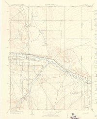
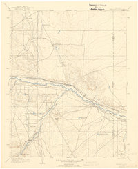
The Arkansas River serves as the primary artery through this Colorado landscape at the turn of the century, where burgeoning irrigation systems and transcontinental railroads defined the early valley economy. The Atchison Topeka and Santa Fe R. R. and Missouri Pacific R. R. parallel the river, connecting vital shipping points like Avondale, Boone, and Nepesta. The extensive network of water infrastructure, including the Bessemer Ditch, Excelsior Ditch, and Highland Canal, illustrates the intensive effort to transform the arid plains into productive agricultural land.
Find a feature on this map
42 named features on this map. Tap any name to fly to it.
Don’t see what you’re looking for? This feature index may not catch every label — zoom into the map to look around manually.
Map Details
Editions of this 1904 Nepesta Map
3 editions found
Other maps of this area

1889 · Sanborn
USGS Topo · 1:125,000

1891 · Walsenburg
USGS Topo · 1:125,000

1891 · Sanborn
USGS Topo · 1:125,000

1891 · Catlin
USGS Topo · 1:125,000

1891 · Pueblo
USGS Topo · 1:125,000

1891 · Timpas
USGS Topo · 1:125,000

1891 · Nepesta
USGS Topo · 1:125,000

1891 · Apishapa
USGS Topo · 1:125,000

1893 · Nepesta
USGS Topo · 1:125,000

1893 · Sanborn
USGS Topo · 1:125,000