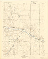
1904 Map of Nepesta
USGS Topo · Published 1942About this map
The Arkansas River serves as the central artery of this Colorado plains landscape, dictating the placement of both rail lines and early irrigation infrastructure at the turn of the century. Large-scale ranching operations, including the Tolle Ranch and Ben Butler Ranch, characterize the northern and southern extents, while the central river valley shows the emergence of agricultural hubs like Avondale and Boone. The vital role of water management in this arid region is visible through the complex network of the Excelsior Ditch and the Highland Canal.
Find a feature on this map
38 named features on this map. Tap any name to fly to it.
Don’t see what you’re looking for? This feature index may not catch every label — zoom into the map to look around manually.
Map Details
Editions of this 1904 Nepesta Map
3 editions found

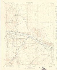
Other maps of this area

1889 · Sanborn
USGS Topo · 1:125,000

1891 · Walsenburg
USGS Topo · 1:125,000

1891 · Sanborn
USGS Topo · 1:125,000

1891 · Catlin
USGS Topo · 1:125,000

1891 · Pueblo
USGS Topo · 1:125,000

1891 · Timpas
USGS Topo · 1:125,000

1891 · Nepesta
USGS Topo · 1:125,000

1891 · Apishapa
USGS Topo · 1:125,000

1893 · Nepesta
USGS Topo · 1:125,000

1893 · Sanborn
USGS Topo · 1:125,000