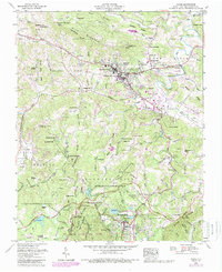
2022 Map of Boone
USGS Topo · Published 2022About this map
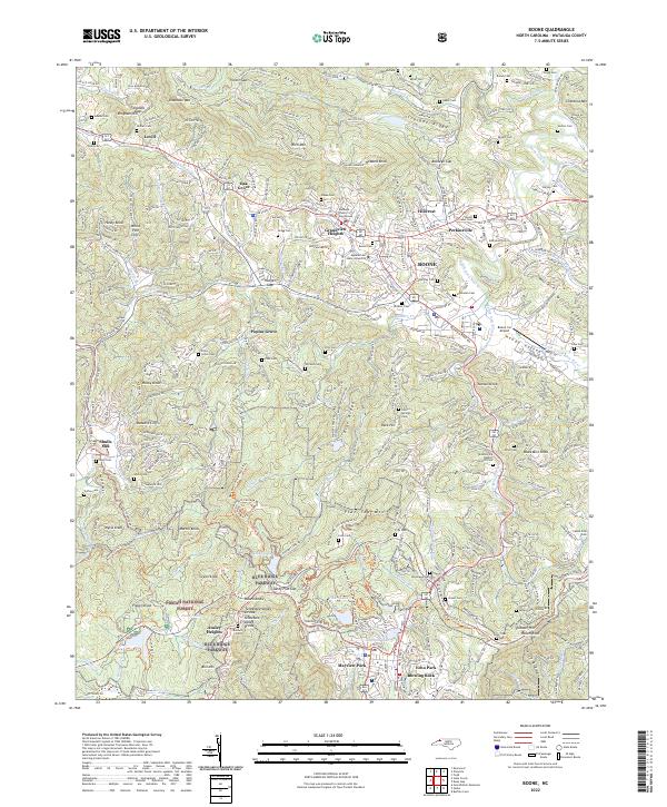
Appalachian State University anchors the central valley of this mountain landscape, where the Watauga County Courthouse stands as the civic heart of Boone. The terrain is defined by dramatic elevation changes, from the heights of Rich Mtn and Howard Knob down to the winding course of the South Fork New River. This 2022 survey illustrates the modern footprint of settlements like Perkinsville and Blowing Rock as they integrate with the protected lands of the Pisgah National Forest.
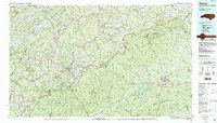
Find a feature on this map
356 named features on this map. Tap any name to fly to it.
Don’t see what you’re looking for? This feature index may not catch every label — zoom into the map to look around manually.
Map Details
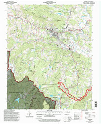
Editions of this 2022 Boone Map
This is the sole edition of this map. No revisions or reprints were ever made.
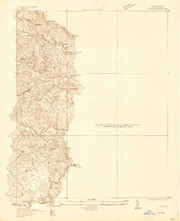
Historical Maps of Lovill Through Time
5 maps found