Loading...
Loading map...2024 Map of Booneville
USGS Topo · Published 2024About this map
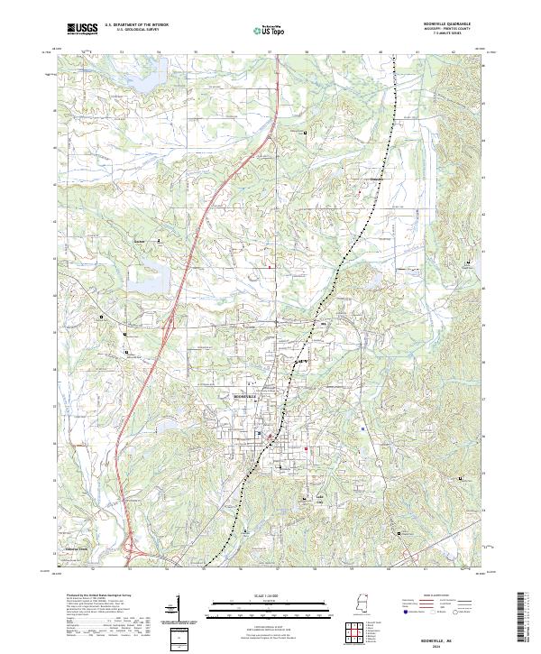
Booneville serves as the focal point of this Prentiss County survey, where the Prentiss County Courthouse and Northeast Mississippi Community College anchor the downtown and educational districts. The town's grid is bounded by the Kansas City Southern railroad, a corridor that historical commerce followed through northeast Mississippi. Beyond the main settlement, several established residential areas such as Dogwood Est and Horseshoe Acres show the town's modern footprint.
Find a feature on this map
166 named features on this map. Tap any name to fly to it.
Don’t see what you’re looking for? This feature index may not catch every label — zoom into the map to look around manually.
Map Details
Date Portrayed2024
Date Published2024
PublisherU.S. Geological Survey
Map TypeTopographic
Scale1:24000
Physical Dimensions24 x 29 inches
Editions of this 2024 Booneville Map
This is the sole edition of this map. No revisions or reprints were ever made.
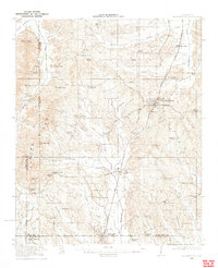
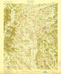
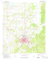
Historical Maps of Thrasher Through Time
4 maps found
Featured Locations
Source Details
SourceU.S. Geological Survey
CopyrightPublic Domain